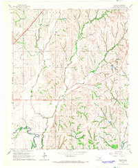
1966 Map of Tabler
USGS Topo · Published 1967About this map
Washita River meanders through the southwestern corner of this Grady County landscape, where the agricultural patterns of central Oklahoma are clearly defined by the survey lines of the 1960s. The small community of Tabler serves as a central hub, surrounded by smaller named settlements including Lucille, Naples, and Middleberg. The transportation network reveals a transition in mobility, with the modern H.E. Bailey Toll Road (Turnpike) cutting across the northwestern section while an Old Railroad Grade remains visible as a vestige of an earlier rail-dependent economy.
Find a feature on this map
20 named features on this map. Tap any name to fly to it.
Don’t see what you’re looking for? This feature index may not catch every label — zoom into the map to look around manually.
Map Details
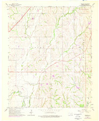
Editions of this 1966 Tabler Map
2 editions found
Other maps of this area

1902 · Rush Springs
USGS Topo · 1:125,000

1904 · Chickasha
USGS Topo · 1:125,000

1949 · Rush Springs
USGS Topo · 1:62,500

1950 · Rush Springs
USGS Topo · 1:62,500

1954 · Oklahoma City
USGS Topo · 1:250,000

1957 · Ardmore
USGS Topo · 1:250,000

1957 · Oklahoma City
USGS Topo · 1:250,000

1963 · Ardmore
USGS Topo · 1:250,000

1963 · Oklahoma City
USGS Topo · 1:250,000
1965 · Dibble
USGS Topo · 1:24,000