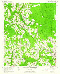
1962 Map of Tabor City West
USGS Topo · Published 1964About this map
The North Carolina-South Carolina state line bisects this 1962 landscape, marking the transition between the Columbus and Horry county borders. To the east, Tabor City sits as a regional hub anchored by the Atlantic Coast Line railroad, which cuts through the dense wetlands of Gapway Swamp. The topography is defined by distinctive elliptical Carolina bays, including Big Bay, Wolf Pen Bay, and Iron Springs Bay, which punctuate the low-lying timber and agricultural land. A network of small rural congregations and family burial grounds, such as Cherry Grove Church, Union Missionary, and Gapway Cemetery, are scattered along the sandy roads connecting Tabor City to the settlement of Green Sea in the south. The hydrology is complex, with numerous branches like Trippiloo Creek and Huggins Creek feeding into the larger reaches of Mitchell Swamp.
Find a feature on this map
53 named features on this map. Tap any name to fly to it.
Don’t see what you’re looking for? This feature index may not catch every label — zoom into the map to look around manually.
Map Details
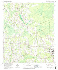
Editions of this 1962 Tabor City West Map
2 editions found
Other maps of this area

1943 · Pages Mill
USGS Topo · 1:62,500

1948 · Bayboro
USGS Topo · 1:24,000

1949 · Bayboro
USGS Topo · 1:24,000

1949 · Duford
USGS Topo · 1:24,000

1953 · Chadbourn
USGS Topo · 1:62,500

1953 · Florence
USGS Topo · 1:250,000

1954 · Florence
USGS Topo · 1:250,000
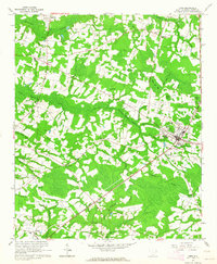
1962 · Loris
USGS Topo · 1:24,000

1962 · Fair Bluff
USGS Topo · 1:24,000
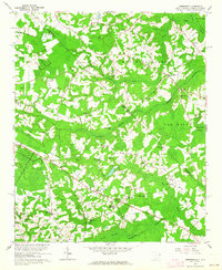
1962 · Goretown
USGS Topo · 1:24,000