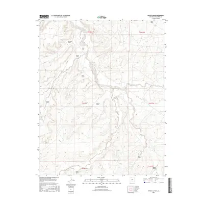
2017 Map of Tafoya Canyon
USGS Topo · Published 2017About this map
Cañon Largo serves as the central drainage for this high-desert landscape in Rio Arriba County, where a complex network of dry washes and deep-cut canyons converge. The map illustrates the rugged geography of the San Juan Basin, notably where Tafoya Canyon and Rincon Largo join the main wash. The land is partitioned by the Public Land Survey System, with township and range lines like t24n r6w defining the administrative layout of the territory.
Find a feature on this map
26 named features on this map. Tap any name to fly to it.
Don’t see what you’re looking for? This feature index may not catch every label — zoom into the map to look around manually.
Map Details
Editions of this 2017 Tafoya Canyon Map
This is the sole edition of this map. No revisions or reprints were ever made.
Other maps of this area

1889 · Largo
USGS Topo · 1:250,000

1895 · Largo
USGS Topo · 1:250,000

1954 · Aztec
USGS Topo · 1:250,000

1958 · Aztec
USGS Topo · 1:250,000

1959 · Nageezi
USGS Topo · 1:62,500

1962 · Aztec
USGS Topo · 1:250,000

1963 · Lapis Point
USGS Topo · 1:24,000

1963 · Tayfoya Canyon
USGS Topo · 1:24,000

1963 · Gonzales Mesa
USGS Topo · 1:24,000

1963 · Otero Store
USGS Topo · 1:24,000