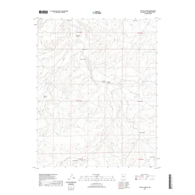
2020 Map of Tafoya Canyon
USGS Topo · Published 2020About this map
Tafoya Canyon and Cañon Largo define the complex topography of this New Mexico landscape. The drainage network of the Largo and its tributaries, such as Rincon Largo and the smaller Cañada-barga, creates a distinctive dendritic pattern across the high desert terrain. This 2020 survey provides a modern look at a region long characterized by its canyons, from the northern Rockhouse Canyon to the southern reaches of Venado Canyon.
Find a feature on this map
27 named features on this map. Tap any name to fly to it.
Don’t see what you’re looking for? This feature index may not catch every label — zoom into the map to look around manually.
Map Details
Editions of this 2020 Tafoya Canyon Map
This is the sole edition of this map. No revisions or reprints were ever made.
Other maps of this area

1889 · Largo
USGS Topo · 1:250,000

1895 · Largo
USGS Topo · 1:250,000

1954 · Aztec
USGS Topo · 1:250,000

1958 · Aztec
USGS Topo · 1:250,000

1959 · Nageezi
USGS Topo · 1:62,500

1962 · Aztec
USGS Topo · 1:250,000

1963 · Lapis Point
USGS Topo · 1:24,000

1963 · Tayfoya Canyon
USGS Topo · 1:24,000

1963 · Gonzales Mesa
USGS Topo · 1:24,000

1963 · Otero Store
USGS Topo · 1:24,000