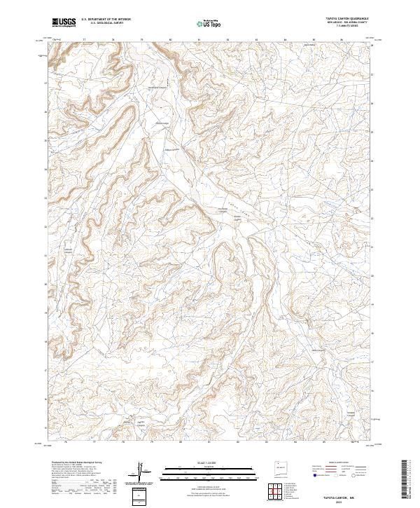
2023 Map of Tafoya Canyon
USGS Topo · Published 2023About this map
Cañon Largo serves as the primary drainage corridor through this section of Rio Arriba County, where a complex network of seasonal washes and canyons define the high-desert landscape. The terrain is characterized by prominent geological features such as Rincon Largo and the steep-walled Rockhouse Canyon to the north, giving way to the namesake Tafoya Canyon in the central portion of the sheet. Remote water sources like Otero Spring are critical landmarks in this arid region, which is also bisected by a series of county roads including Co RD 379 and Co RD 523. The presence of numerous canyons, such as Gallo Canyon and Escrito Canyon, suggests a highly dissected topography where historical movement likely followed the natural contours of the valley floors and ridges.
Find a feature on this map
27 named features on this map. Tap any name to fly to it.
Don’t see what you’re looking for? This feature index may not catch every label — zoom into the map to look around manually.
Map Details
Editions of this 2023 Tafoya Canyon Map
This is the sole edition of this map. No revisions or reprints were ever made.
Other maps of this area

1889 · Largo
USGS Topo · 1:250,000

1895 · Largo
USGS Topo · 1:250,000

1954 · Aztec
USGS Topo · 1:250,000

1958 · Aztec
USGS Topo · 1:250,000

1959 · Nageezi
USGS Topo · 1:62,500

1962 · Aztec
USGS Topo · 1:250,000

1963 · Lapis Point
USGS Topo · 1:24,000

1963 · Tayfoya Canyon
USGS Topo · 1:24,000

1963 · Gonzales Mesa
USGS Topo · 1:24,000

1963 · Otero Store
USGS Topo · 1:24,000