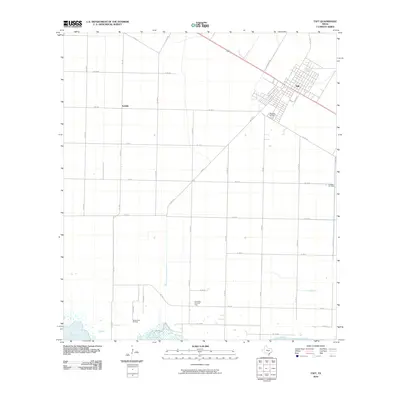
2010 Map of Taft
USGS Topo · Published 2010About this map
The town of Taft and the small community of Sodville anchor this coastal Texas landscape just north of Nueces Bay. As of 2010, the area's agricultural identity, marked by a dense grid of farm-to-market roads like Fm 1074 and Fm 1944, exists alongside a significant petroleum economy. Three major energy production zones—the White Point Oil Field, East White Point Oil Field, and Midway Oil Field—are distributed across the territory, illustrating the long-standing integration of ranching and oil extraction in San Patricio County. Near the residential core of Taft, Bellevue Cemetery stands as a local genealogical landmark, while the northern reaches of the bay provide a distinct transition from the flat coastal prairie to the marshy shoreline. The transportation network is defined by major corridors such as Coleman Rd and several secondary county roads that connect the dispersed oil operations to the regional trade centers.
Find a feature on this map
35 named features on this map. Tap any name to fly to it.
Don’t see what you’re looking for? This feature index may not catch every label — zoom into the map to look around manually.
Map Details
Editions of this 2010 Taft Map
This is the sole edition of this map. No revisions or reprints were ever made.
Other maps of this area

1925 · Robstown
USGS Topo · 1:62,500

1925 · Corpus Christi
USGS Topo · 1:62,500

1950 · Corpus Christi
USGS Topo · 1:250,000

1951 · Portland
USGS Topo · 1:24,000

1951 · Corpus Christi
USGS Topo · 1:24,000

1951 · Corpus Christi
USGS Topo · 1:62,500

1953 · Beeville
USGS Topo · 1:250,000

1954 · Woodsboro
USGS Topo · 1:62,500

1954 · Robstown
USGS Topo · 1:62,500

1954 · Sinton
USGS Topo · 1:62,500