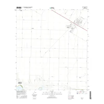
2016 Map of Taft
USGS Topo · Published 2016About this map
Taft serves as the primary urban hub on this coastal Texas plain, centered at the intersection of several farm-to-market roads and highway corridors. The residential expansion of Taft Southwest and the presence of Bellevue Cem provide key data points for local researchers studying the town's modern footprint. Further west, the map identifies smaller rural clusters at Sodville and Loma Linda, illustrating the transition from concentrated town centers to broader agricultural tracts.
Find a feature on this map
72 named features on this map. Tap any name to fly to it.
Don’t see what you’re looking for? This feature index may not catch every label — zoom into the map to look around manually.
Map Details
Editions of this 2016 Taft Map
This is the sole edition of this map. No revisions or reprints were ever made.
Other maps of this area
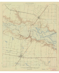
1925 · Robstown
USGS Topo · 1:62,500
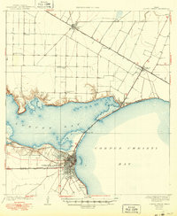
1925 · Corpus Christi
USGS Topo · 1:62,500
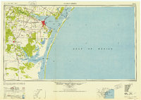
1950 · Corpus Christi
USGS Topo · 1:250,000
1951 · Portland
USGS Topo · 1:24,000
1951 · Corpus Christi
USGS Topo · 1:24,000
1951 · Corpus Christi
USGS Topo · 1:62,500
1953 · Beeville
USGS Topo · 1:250,000
1954 · Woodsboro
USGS Topo · 1:62,500
1954 · Robstown
USGS Topo · 1:62,500
1954 · Sinton
USGS Topo · 1:62,500