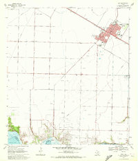
1969 Map of Taft
USGS Topo · Published 1972About this map
Taft serves as the primary hub of this industrial and agricultural landscape in the late 1960s, its urban grid tightly organized around the Southern Pacific railroad corridor. The town contains essential local infrastructure including the City Hall, Hospital, and several schools such as East Sch. Outside the residential core, the landscape is defined by extensive energy extraction, with the White Point Oil Field and East White Point Oil Field dominating the southern bluffs overlooking Nueces Bay. Smaller settlements like Sodville and Midway are connected by a network of rural routes and the Boykin Road. Researchers will find a mix of aviation and civic history, from the Worsham Airfield and a northern Landing Strip to the Bellevue Cem on the edge of town, illustrating the area's development during this period of coastal Texas history.
Find a feature on this map
30 named features on this map. Tap any name to fly to it.
Don’t see what you’re looking for? This feature index may not catch every label — zoom into the map to look around manually.
Map Details
Editions of this 1969 Taft Map
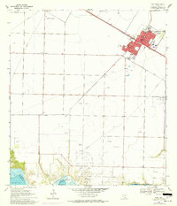
2 editions found
Other maps of this area

1925 · Robstown
USGS Topo · 1:62,500

1925 · Corpus Christi
USGS Topo · 1:62,500

1950 · Corpus Christi
USGS Topo · 1:250,000

1951 · Portland
USGS Topo · 1:24,000

1951 · Corpus Christi
USGS Topo · 1:24,000

1951 · Corpus Christi
USGS Topo · 1:62,500

1953 · Beeville
USGS Topo · 1:250,000

1954 · Woodsboro
USGS Topo · 1:62,500

1954 · Robstown
USGS Topo · 1:62,500

1954 · Sinton
USGS Topo · 1:62,500