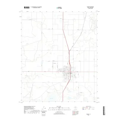
2019 Map of Tahoka
USGS Topo · Published 2019About this map
The street grid of Tahoka forms the focal point of this Lynn County landscape, where the intersection of major thoroughfares and residential avenues defines the local geography. The town's layout is meticulously detailed, showing the organization of numbered streets such as N 8th and S 11th St, along with the central transit corridor of Lockwood St. To the west of the main settlement, the T-Bar Airport and residential developments along Country Club Ln and Airport Rd signify the community's outward growth toward the surrounding agricultural plains.
Find a feature on this map
38 named features on this map. Tap any name to fly to it.
Don’t see what you’re looking for? This feature index may not catch every label — zoom into the map to look around manually.
Map Details
Editions of this 2019 Tahoka Map
This is the sole edition of this map. No revisions or reprints were ever made.
Other maps of this area
1954 · Lubbock
USGS Topo · 1:250,000
1957 · New Home
USGS Topo · 1:62,500
1965 · Wilson
USGS Topo · 1:24,000
1969 · Skeen Lake
USGS Topo · 1:24,000
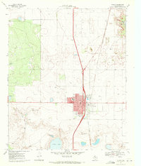
1969 · Tahoka
USGS Topo · 1:24,000
1969 · Tahoka SW
USGS Topo · 1:24,000
1969 · Double Lakes
USGS Topo · 1:24,000
1970 · New Lynn
USGS Topo · 1:24,000
1970 · Draw
USGS Topo · 1:24,000
1976 · New Home SE
USGS Topo · 1:24,000