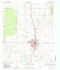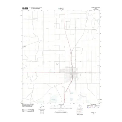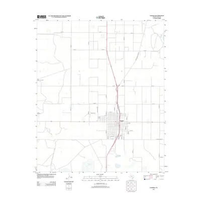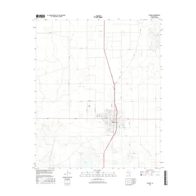
2022 Map of Tahoka
USGS Topo · Published 2022About this map
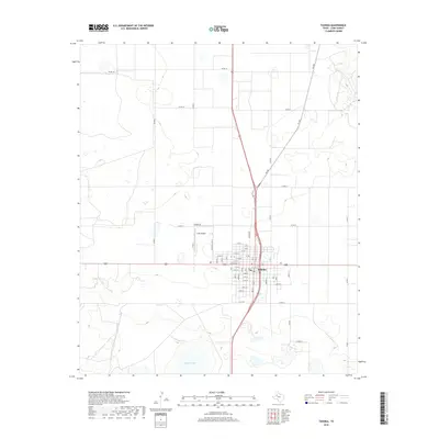
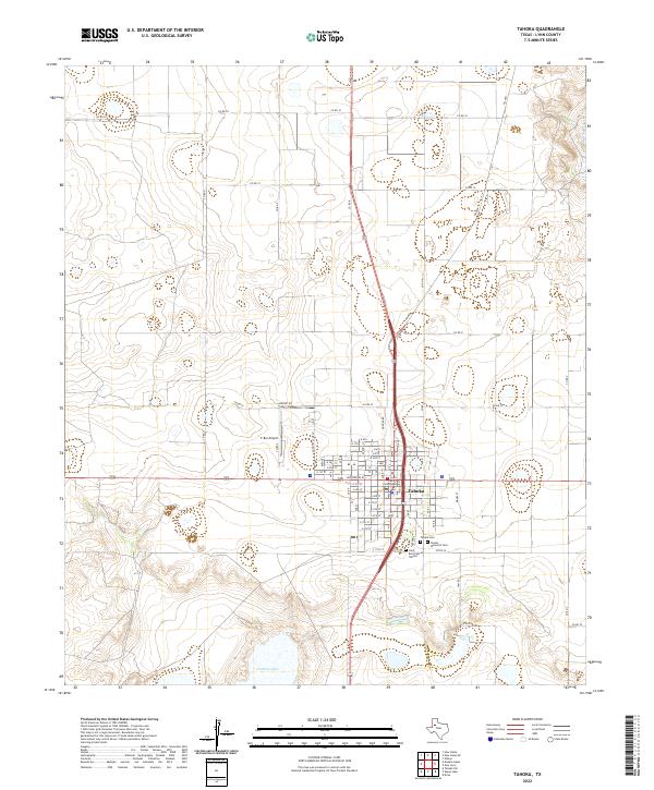
Tahoka serves as the focal point of this High Plains landscape, centered on the Lynn County Courthouse and a grid of residential and commercial streets. The town's burial grounds, including Tahoka Cem, Nevels Memorial Cem, and Saint Rest Cem of Tahoka, are clustered to the south along Co RD 24 and S 11th ST, providing valuable spatial data for family historians. Outside the municipal center, the terrain is defined by the ephemeral basin of Guthrie Lake and the agricultural road network. Transportation is anchored by the T-Bar Airport and a series of numbered county roads that stretch across the open country, illustrating the modern rural layout of Lynn County.
Find a feature on this map
16 named features on this map. Tap any name to fly to it.
Don’t see what you’re looking for? This feature index may not catch every label — zoom into the map to look around manually.
Map Details
Editions of this 2022 Tahoka Map
This is the sole edition of this map. No revisions or reprints were ever made.
Historical Maps of Tahoka Through Time
6 maps found