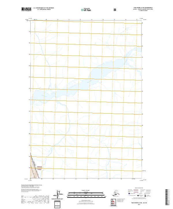
2021 Map of Taku River A-4 NE
USGS Topo · Published 2021About this map
Whiting River dominates this remote Alaskan landscape as it flows through the southeastern portion of the Tongass National Forest. The map documents a significant international boundary where the Canada United States of America border runs through the southern corner of the quadrangle. This 2021 study illustrates the complex glacial and fluvial drainage patterns of the region, showing how the river system carves through the protected wilderness of the national forest. The lack of named settlements or infrastructure highlights the purely natural state of this segment of the Alaskan-Canadian borderland, where terrain is defined solely by the river and the forest boundary near t43s r75e.
Find a feature on this map
4 named features on this map. Tap any name to fly to it.
Don’t see what you’re looking for? This feature index may not catch every label — zoom into the map to look around manually.
Map Details
Editions of this 2021 Taku River A-4 NE Map
This is the sole edition of this map. No revisions or reprints were ever made.
Other maps of this area

1951 · Taku River A-4
USGS Topo · 1:63,360

1953 · Taku River
USGS Topo · 1:250,000

1960 · Taku River
USGS Topo · 1:250,000
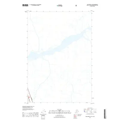
2017 · Taku River A-4 NE
USGS Topo · 1:25,000
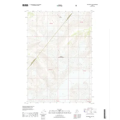
2017 · Taku River A-4 SW
USGS Topo · 1:25,000
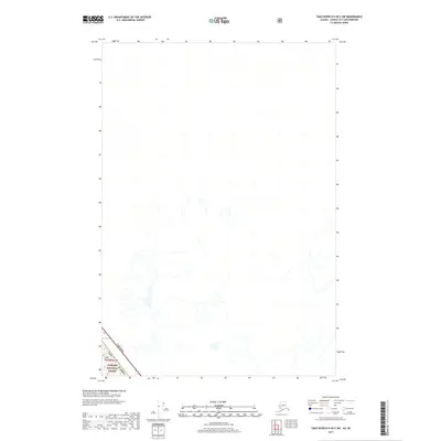
2017 · Taku River B-5 OE E SW
USGS Topo · 1:25,000
2017 · Taku River A-4 SE
USGS Topo · 1:25,000
2017 · Taku River A-4 NW
USGS Topo · 1:25,000
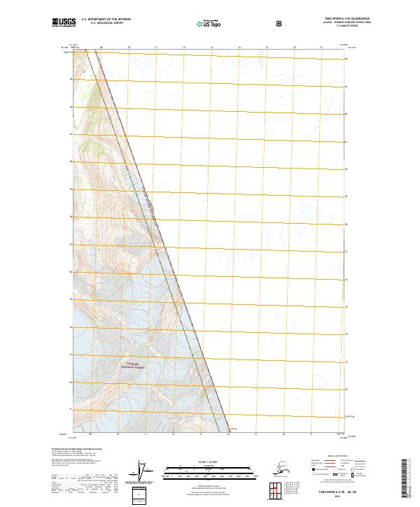
2021 · Taku River A-4 SE
USGS Topo · 1:25,000
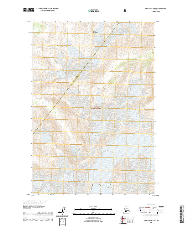
2021 · Taku River A-4 SW
USGS Topo · 1:25,000