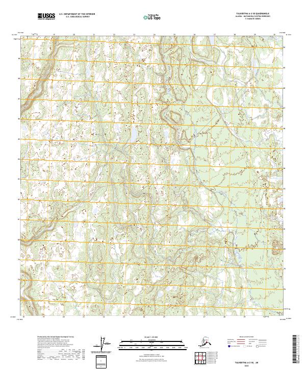
2023 Map of Talkeetna A-2 SE
USGS Topo · Published 2023About this map
Oilwell Road serves as the primary corridor through this expansive section of the Susitna Valley, cutting across the low-lying wetlands and complex drainage systems characteristic of the Matanuska-Susitna region. The landscape is defined by the intricate meandering of Kroto Creek in the northeast and Chijuk Creek as it winds through the central and southern portions of the survey area. This 2023 data highlights the persistent importance of limited road access in the Alaskan interior, where a single thoroughfare provides the essential link for the scattered townships and remote sections of t23n r8w and t24n r7w. The hydrography reveals a dense network of small lakes and marshes, illustrating the saturated, alluvial nature of the terrain between these significant watercourses.
Find a feature on this map
9 named features on this map. Tap any name to fly to it.
Don’t see what you’re looking for? This feature index may not catch every label — zoom into the map to look around manually.
Map Details
Editions of this 2023 Talkeetna A-2 SE Map
This is the sole edition of this map. No revisions or reprints were ever made.
Other maps of this area

1949 · Tyonek
USGS Topo · 1:250,000

1950 · Talkeetna
USGS Topo · 1:250,000

1951 · Talkeetna
USGS Topo · 1:250,000

1951 · Tyonek
USGS Topo · 1:250,000

1952 · Talkeetna A-1
USGS Topo · 1:63,360

1954 · Tyonek D-2
USGS Topo · 1:63,360

1954 · Tyonek D-3
USGS Topo · 1:63,360

1954 · Talkeetna A-2
USGS Topo · 1:63,360
1958 · Talkeetna A-1
USGS Topo · 1:63,360

1958 · Tyonek
USGS Topo · 1:250,000