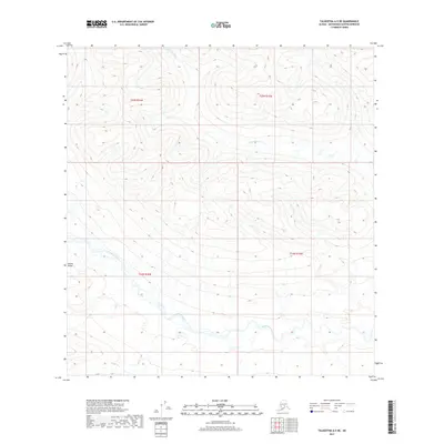
2017 Map of Talkeetna A-5 NE
USGS Topo · Published 2017About this map
The Alaska Range defines the high-altitude topography of this wilderness region, where the drainage systems of the Nakochina River and Kichatna River carve deep paths through the interior of the Matanuska-Susitna Borough. This 2017 survey details a landscape primarily characterized by steep elevation changes and natural watercourses, with the Kichatna River winding through the southern portion of the quadrangle. The lack of road infrastructure or named settlements emphasizes the isolation of this part of the range. The map provides a precise look at the township and range divisions, including t25n r16w, which help orient researchers to the public land survey system in this unpopulated subarctic environment.
Find a feature on this map
7 named features on this map. Tap any name to fly to it.
Don’t see what you’re looking for? This feature index may not catch every label — zoom into the map to look around manually.
Map Details
Editions of this 2017 Talkeetna A-5 NE Map
This is the sole edition of this map. No revisions or reprints were ever made.
Other maps of this area

1950 · Talkeetna
USGS Topo · 1:250,000

1951 · Talkeetna
USGS Topo · 1:250,000

1954 · Talkeetna B-4
USGS Topo · 1:63,360

1954 · Talkeetna A-4
USGS Topo · 1:63,360

1958 · Talkeetna A-5
USGS Topo · 1:63,360

1958 · Talkeetna B-5
USGS Topo · 1:63,360

1958 · Talkeetna
USGS Topo · 1:250,000

1965 · Talkeetna
USGS Topo · 1:250,000
2017 · Talkeetna B-4 SW
USGS Topo · 1:25,000
2017 · Talkeetna A-4 NW
USGS Topo · 1:25,000