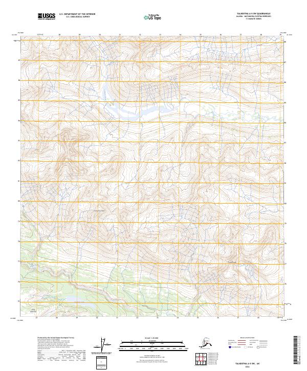
2024 Map of Talkeetna A-5 SW
USGS Topo · Published 2024About this map
Happy River and its tributary Johnson Creek carve through the high elevations of the Matanuska-Susitna region, defining the drainage patterns of this Alaskan landscape. The terrain is dominated by prominent summits such as Columbia Peak and McDoel Peak, which rise above the surrounding valleys. To the south, Finnbear Lake provides a notable basin amidst the more gradual elevations of the Long Lake Hills. This 2024 survey, produced by the U.S. Geological Survey, utilizes data from the National Hydrography and Elevation Datasets to document a wilderness shaped by extreme vertical relief and glacial watersheds. The lack of documented roads or settlements highlights the isolation of these peaks and the primary role of water systems in navigating the interior.
Find a feature on this map
15 named features on this map. Tap any name to fly to it.
Don’t see what you’re looking for? This feature index may not catch every label — zoom into the map to look around manually.
Map Details
Editions of this 2024 Talkeetna A-5 SW Map
This is the sole edition of this map. No revisions or reprints were ever made.
Other maps of this area

1949 · Tyonek
USGS Topo · 1:250,000

1950 · Talkeetna
USGS Topo · 1:250,000

1951 · Talkeetna
USGS Topo · 1:250,000

1951 · Tyonek
USGS Topo · 1:250,000

1958 · Talkeetna A-6
USGS Topo · 1:63,360

1958 · Tyonek D-6
USGS Topo · 1:63,360

1958 · Talkeetna A-5
USGS Topo · 1:63,360

1958 · Tyonek
USGS Topo · 1:250,000

1958 · Talkeetna
USGS Topo · 1:250,000
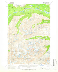
1958 · Tyonek D-7
USGS Topo · 1:63,360