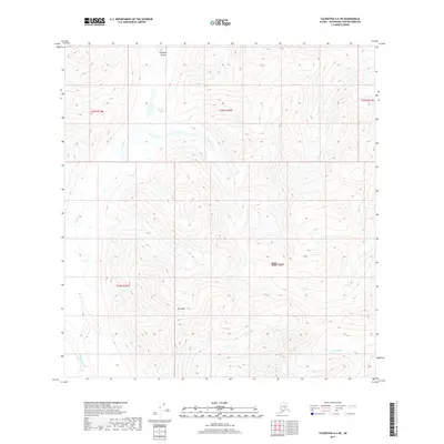
2017 Map of Talkeetna A-6 NE
USGS Topo · Published 2017About this map
Chuqitnu Tustes stands as a prominent high point in this section of the Alaska Range, situated north of where the Happy River enters the frame. The landscape is defined by its dramatic elevation changes and a series of glacial drainages including Moose Cr and Glacier Cr. At the center of these peaks lies Eva Peak, while Moose Creek Lake provides a rare stationary water body among the high ridges. This 2017 survey by the U.S. Geological Survey illustrates a wild and largely unsettled portion of the Matanuska-Susitna Borough, where the hydrography is dominated by high-altitude creeks such as Johnson Cr. The map's detailed topography captures the transition from high peaks to the deep river valleys that have shaped this corridor for generations.
Find a feature on this map
13 named features on this map. Tap any name to fly to it.
Don’t see what you’re looking for? This feature index may not catch every label — zoom into the map to look around manually.
Map Details
Editions of this 2017 Talkeetna A-6 NE Map
This is the sole edition of this map. No revisions or reprints were ever made.
Other maps of this area

1950 · Talkeetna
USGS Topo · 1:250,000

1951 · Talkeetna
USGS Topo · 1:250,000

1958 · Talkeetna A-6
USGS Topo · 1:63,360

1958 · Talkeetna A-5
USGS Topo · 1:63,360

1958 · Talkeetna B-5
USGS Topo · 1:63,360

1958 · Talkeetna B-6
USGS Topo · 1:63,360

1958 · Talkeetna
USGS Topo · 1:250,000

1965 · Talkeetna
USGS Topo · 1:250,000
2017 · Talkeetna A-6 SE
USGS Topo · 1:25,000
2017 · Talkeetna B-6 SW
USGS Topo · 1:25,000