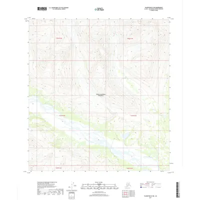
2017 Map of Talkeetna B-5 NE
USGS Topo · Published 2017About this map
Denali National Preserve encompasses a significant portion of this landscape, where the high-altitude terrain is defined by the drainage patterns of the West Fork Yentna River. The river winds through the southern half of the quadrangle, creating a complex hydrologic network fed by numerous unnamed tributaries and the descending waters of Cascade Cr. This 2017 survey illustrates the vast, undeveloped nature of the Matanuska-Susitna region, where the Public Land Survey System grid (including t27n r16w and t28n r15w) overlays a wilderness largely devoid of modern infrastructure or permanent settlements. The topographic data reveals the steep, glacial-carved valleys and ridgelines that characterize this remote section of the Alaska Range.
Find a feature on this map
9 named features on this map. Tap any name to fly to it.
Don’t see what you’re looking for? This feature index may not catch every label — zoom into the map to look around manually.
Map Details
Editions of this 2017 Talkeetna B-5 NE Map
This is the sole edition of this map. No revisions or reprints were ever made.
Other maps of this area

1950 · Talkeetna
USGS Topo · 1:250,000

1951 · Talkeetna
USGS Topo · 1:250,000

1954 · Talkeetna B-4
USGS Topo · 1:63,360

1958 · Talkeetna B-5
USGS Topo · 1:63,360

1958 · Talkeetna C-4
USGS Topo · 1:63,360

1958 · Talkeetna C-5
USGS Topo · 1:63,360

1958 · Talkeetna
USGS Topo · 1:250,000

1965 · Talkeetna
USGS Topo · 1:250,000
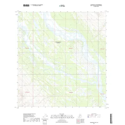
2017 · Talkeetna B-4 SW
USGS Topo · 1:25,000
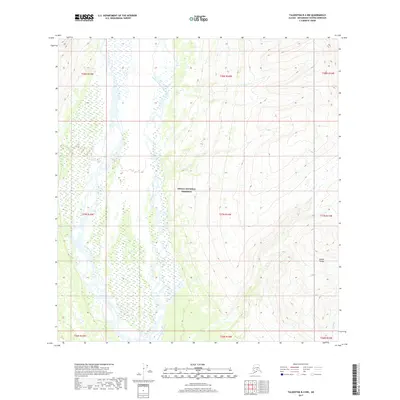
2017 · Talkeetna B-4 NW
USGS Topo · 1:25,000