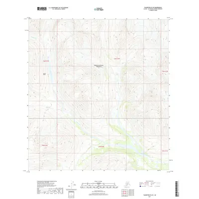
2017 Map of Talkeetna B-6 SE
USGS Topo · Published 2017About this map
Denali National Preserve encompasses much of this interior landscape, where the high peaks of the Alaska Range dominate the topography. The Kichatna River provides the primary drainage for the area, winding through deep glacial valleys and receiving runoff from tributaries such as Morris Cr. This environment illustrates the transition from high-elevation ridgelines to the riverine bottomlands of the Matanuska-Susitna region. The map reveals the intricate drainage patterns and steep elevation changes characteristic of this portion of the northern range, where remote waterways carve through some of the state's most formidable terrain. Surveyed by the U.S. Geological Survey, this sheet provides a high-resolution view of these natural features as they existed in the early twenty-first century.
Find a feature on this map
10 named features on this map. Tap any name to fly to it.
Don’t see what you’re looking for? This feature index may not catch every label — zoom into the map to look around manually.
Map Details
Editions of this 2017 Talkeetna B-6 SE Map
This is the sole edition of this map. No revisions or reprints were ever made.
Other maps of this area

1950 · Talkeetna
USGS Topo · 1:250,000

1951 · Talkeetna
USGS Topo · 1:250,000

1958 · Talkeetna A-6
USGS Topo · 1:63,360

1958 · Talkeetna A-5
USGS Topo · 1:63,360

1958 · Talkeetna B-5
USGS Topo · 1:63,360

1958 · Talkeetna B-6
USGS Topo · 1:63,360

1958 · Talkeetna
USGS Topo · 1:250,000

1965 · Talkeetna
USGS Topo · 1:250,000
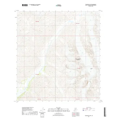
2017 · Talkeetna B-6 NW
USGS Topo · 1:25,000
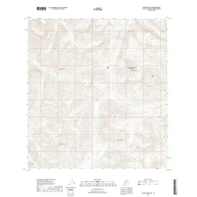
2017 · Talkeetna B-6 SW
USGS Topo · 1:25,000