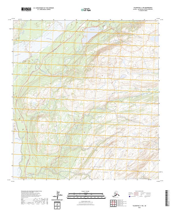
2023 Map of Talkeetna C-1 NE
USGS Topo · Published 2023About this map
Curry Ridge dominates the eastern elevation of this area, where a network of trails reveals the modern recreational character of the Matanuska-Susitna interior. High-elevation routes like the Kesugi Ridge Tr and Cascade Tr overlook the basin of Byers Lake, which is bordered by a Sandy Beach near its northern shore. The western corridor is defined by the Parks Highway, which parallels the Chulitna River and provides access to Byers Creek Landing. This 2023 survey illustrates how transportation and conservation intersect, with the Upper Troublesome Creek Tr and Byers Lake Tr weaving through the landscape near Troublesome Creek. The map documents a sophisticated modern trail system built upon a drainage network including Spink Creek and Byers Creek.
Find a feature on this map
19 named features on this map. Tap any name to fly to it.
Don’t see what you’re looking for? This feature index may not catch every label — zoom into the map to look around manually.
Map Details
Editions of this 2023 Talkeetna C-1 NE Map
This is the sole edition of this map. No revisions or reprints were ever made.
Other maps of this area

1949 · Talkeetna Mountains D-6
USGS Topo · 1:63,360

1949 · Talkeetna Mountains C-6
USGS Topo · 1:63,360

1950 · Talkeetna Mountains
USGS Topo · 1:250,000

1950 · Talkeetna
USGS Topo · 1:250,000

1951 · Talkeetna
USGS Topo · 1:250,000

1951 · Talkeetna C-1
USGS Topo · 1:63,360

1951 · Talkeetna Mountains D-6
USGS Topo · 1:63,360

1952 · Talkeetna Mountains C-6
USGS Topo · 1:63,360

1952 · Talkeetna Mountains D-6
USGS Topo · 1:63,360

1954 · Talkeetna Mountains
USGS Topo · 1:250,000