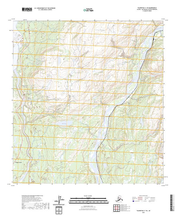
2023 Map of Talkeetna C-1 SE
USGS Topo · Published 2023About this map
The Susitna River and Chulitna River converge within this Alaskan landscape, framing a corridor of historic rail and bush aviation activity. The settlement of Curry stands along the eastern bank of the Susitna, a location defined by the river's path and the elevation of Curry Ridge. To the south, the community of Chase sits near the confluence of Deadhorse Creek and Lane Creek, while Trapper Creek occupies the southwestern corner near the Parks Highway.
Find a feature on this map
21 named features on this map. Tap any name to fly to it.
Don’t see what you’re looking for? This feature index may not catch every label — zoom into the map to look around manually.
Map Details
Editions of this 2023 Talkeetna C-1 SE Map
This is the sole edition of this map. No revisions or reprints were ever made.
Other maps of this area

1949 · Talkeetna Mountains B-6
USGS Topo · 1:63,360

1949 · Talkeetna Mountains C-6
USGS Topo · 1:63,360

1950 · Talkeetna Mountains
USGS Topo · 1:250,000

1950 · Talkeetna
USGS Topo · 1:250,000

1951 · Talkeetna
USGS Topo · 1:250,000

1951 · Talkeetna B-1
USGS Topo · 1:63,360

1951 · Talkeetna C-1
USGS Topo · 1:63,360

1952 · Talkeetna Mountains C-6
USGS Topo · 1:63,360

1952 · Talkeetna Mountains B-6
USGS Topo · 1:63,360

1954 · Talkeetna Mountains
USGS Topo · 1:250,000