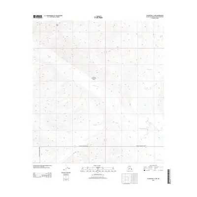
2014 Map of Talkeetna C-2 NW
USGS Topo · Published 2014About this map
Denali National Park encompasses the majority of this Alaskan wilderness, where the high-altitude terrain of the Alaska Range is defined by significant ice and water movement. Mount Goldie stands as a prominent peak in the northwest, overlooking the massive Kanikula Glacier. The drainage patterns are clearly established by the Tokositna River, which is fed by the Tokositna Glacier and numerous mountain streams. Smaller waterways including Wildhorse Cr, Bear Cr, and Ramsdyke Cr carve through the glacial valleys. A single human passage, the Winter Trl, provides a seasonal route through the southern portion of the quadrangle, highlighting the extreme isolation and preservation of this protected landscape. The map provides a detailed view of the complex interaction between glacial recession and river formation at the foot of the continent's highest peaks.
Find a feature on this map
12 named features on this map. Tap any name to fly to it.
Don’t see what you’re looking for? This feature index may not catch every label — zoom into the map to look around manually.
Map Details
Editions of this 2014 Talkeetna C-2 NW Map
This is the sole edition of this map. No revisions or reprints were ever made.
Other maps of this area

1950 · Talkeetna
USGS Topo · 1:250,000

1951 · Talkeetna
USGS Topo · 1:250,000

1958 · Talkeetna C-2
USGS Topo · 1:63,360

1958 · Talkeetna D-2
USGS Topo · 1:63,360

1958 · Talkeetna C-3
USGS Topo · 1:63,360

1958 · Talkeetna D-3
USGS Topo · 1:63,360

1958 · Talkeetna
USGS Topo · 1:250,000

1965 · Talkeetna
USGS Topo · 1:250,000
2013 · Talkeetna C-2 SE
USGS Topo · 1:25,000
2014 · Talkeetna D-2 SW
USGS Topo · 1:25,000