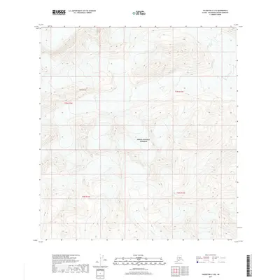
2017 Map of Talkeetna C-5 SE
USGS Topo · Published 2017About this map
The Alaska Range dominates this 2017 survey of the Matanuska-Susitna region, where the high-altitude terrain is preserved within the Denali National Preserve. This landscape is defined by its extreme elevation and dramatic relief, as indicated by the dense contour intervals throughout the quadrangle. Cascade Cr flows through the southern portion of the sheet, cutting through the steep slopes in a rare break from the surrounding mountain peaks. The map illustrates the wilderness character of the interior, showing a region where natural boundaries and township lines like t29n r15w and t28n r16w govern the land rather than roads or permanent settlements.
Find a feature on this map
7 named features on this map. Tap any name to fly to it.
Don’t see what you’re looking for? This feature index may not catch every label — zoom into the map to look around manually.
Map Details
Editions of this 2017 Talkeetna C-5 SE Map
This is the sole edition of this map. No revisions or reprints were ever made.
Other maps of this area

1950 · Talkeetna
USGS Topo · 1:250,000

1951 · Talkeetna
USGS Topo · 1:250,000

1954 · Talkeetna B-4
USGS Topo · 1:63,360

1958 · Talkeetna B-5
USGS Topo · 1:63,360

1958 · Talkeetna C-4
USGS Topo · 1:63,360

1958 · Talkeetna C-5
USGS Topo · 1:63,360

1958 · Talkeetna
USGS Topo · 1:250,000

1965 · Talkeetna
USGS Topo · 1:250,000
2014 · Talkeetna C-4 NW
USGS Topo · 1:25,000
2017 · Talkeetna B-4 NW
USGS Topo · 1:25,000