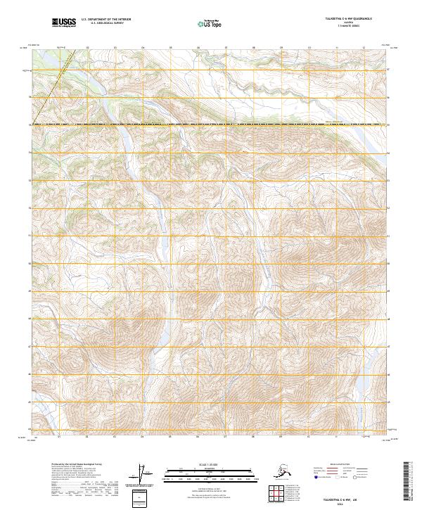
2024 Map of Talkeetna C-6 NW
USGS Topo · Published 2024About this map
The Little Tonzona River and its tributary, the East Fork Little Tonzona River, dominate this high-latitude drainage basin along the administrative borders of the Denali Borough and Matanuska-Susitna Borough. This 2024 map documents a largely unsettled interior landscape characterized by complex hydrography and high-altitude terrain. The southern reaches of the quadrangle include the Big Salmon Fork, while the northern section is defined by the winding course of Pingston Creek. The convergence of these glacial-fed water systems within the Yukon-Koyukuk Census Area reveals a wilderness defined by its natural boundaries and shifting riverbeds rather than human infrastructure or permanent settlements.
Find a feature on this map
12 named features on this map. Tap any name to fly to it.
Don’t see what you’re looking for? This feature index may not catch every label — zoom into the map to look around manually.
Map Details
Editions of this 2024 Talkeetna C-6 NW Map
This is the sole edition of this map. No revisions or reprints were ever made.
Other maps of this area

1949 · McGrath
USGS Topo · 1:250,000

1950 · McGrath
USGS Topo · 1:250,000

1950 · Talkeetna
USGS Topo · 1:250,000

1951 · Talkeetna
USGS Topo · 1:250,000

1958 · Talkeetna D-6
USGS Topo · 1:63,360

1958 · Talkeetna C-6
USGS Topo · 1:63,360

1958 · McGrath C-1
USGS Topo · 1:63,360

1958 · Talkeetna
USGS Topo · 1:250,000

1958 · McGrath D-1
USGS Topo · 1:63,360

1958 · McGrath
USGS Topo · 1:250,000