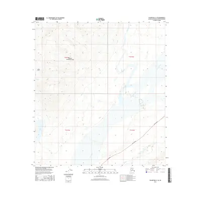
2016 Map of Talkeetna D-1 SE
USGS Topo · Published 2016About this map
Denali National Park encompasses the northwest portion of this landscape, where the rising elevations of the Alaska Range dominate the horizon. This territory is defined by its complex glacial drainage systems, with the broad valley of the Chulitna River serving as a central artery through the terrain. The eastern corridor is bisected by the Parks Highway, providing a critical transportation link between Anchorage and Fairbanks. The hydrology of the area is particularly intricate, featuring the winding Hidden River and Fountain River to the north, while the southwestern corner is marked by Spink Lake and its associated drainage, Spink Cr. These watercourses, including Cloud Cr and Byers Cr, illustrate the seasonal runoff patterns characteristic of the south-central interior, where high-country peaks transition into riverine lowlands.
Find a feature on this map
14 named features on this map. Tap any name to fly to it.
Don’t see what you’re looking for? This feature index may not catch every label — zoom into the map to look around manually.
Map Details
Editions of this 2016 Talkeetna D-1 SE Map
This is the sole edition of this map. No revisions or reprints were ever made.
Other maps of this area

1949 · Talkeetna Mountains D-6
USGS Topo · 1:63,360

1949 · Talkeetna Mountains C-6
USGS Topo · 1:63,360

1950 · Talkeetna Mountains
USGS Topo · 1:250,000

1950 · Talkeetna
USGS Topo · 1:250,000

1951 · Talkeetna
USGS Topo · 1:250,000

1951 · Talkeetna C-1
USGS Topo · 1:63,360

1951 · Talkeetna Mountains D-6
USGS Topo · 1:63,360

1952 · Talkeetna Mountains C-6
USGS Topo · 1:63,360

1952 · Talkeetna Mountains D-6
USGS Topo · 1:63,360

1954 · Talkeetna Mountains
USGS Topo · 1:250,000