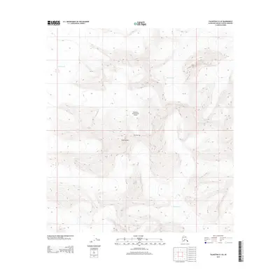
2014 Map of Talkeetna D-3 SE
USGS Topo · Published 2014About this map
Denali National Park encompasses this high-altitude landscape in the Alaska Range, defined by massive glacial systems and significant peaks. The map reveals the immense scale of ice movement in the region, centered on the Kahiltna Glacier to the northwest and the Tokositna Glacier in the northeast. These massive rivers of ice are separated by sharp topographic divides and notable vertical features like Avalanche Spire. To the south, the Kanikula Glacier dominates the valley floor, illustrating the complex glacial convergence typical of this portion of the park. Grounded in a 2014 survey by the U.S. Geological Survey, the sheet provides precise elevation data for navigation and research in an environment where terrain is shaped almost entirely by ice and granite rather than human settlement. Notable landmarks like One Shot Gap serve as critical orientation points for those traversing the high passes between these glacial basins.
Find a feature on this map
11 named features on this map. Tap any name to fly to it.
Don’t see what you’re looking for? This feature index may not catch every label — zoom into the map to look around manually.
Map Details
Editions of this 2014 Talkeetna D-3 SE Map
This is the sole edition of this map. No revisions or reprints were ever made.
Other maps of this area

1950 · Talkeetna
USGS Topo · 1:250,000

1951 · Talkeetna
USGS Topo · 1:250,000

1958 · Talkeetna C-2
USGS Topo · 1:63,360

1958 · Talkeetna D-2
USGS Topo · 1:63,360

1958 · Talkeetna C-3
USGS Topo · 1:63,360

1958 · Talkeetna D-3
USGS Topo · 1:63,360

1958 · Talkeetna
USGS Topo · 1:250,000

1965 · Talkeetna
USGS Topo · 1:250,000
2014 · Talkeetna D-2 SW
USGS Topo · 1:25,000
2014 · Talkeetna C-3 NW
USGS Topo · 1:25,000