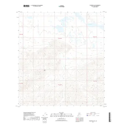
2017 Map of Talkeetna D-6 SE
USGS Topo · Published 2017About this map
The Alaska Range dominates the southern half of this interior Alaska landscape, where high-altitude contours give way to the glacial drainage systems of the north. This 2017 survey documents the complex hydrology of the region, anchored by the Tonzona River flowing through the northeast. The river's braided path and adjacent wetlands are fed by mountain runoff, most notably from Red Paint Cr, which descends from the peaks through the central township. In the lower-lying northern terrain, the Amos Lakes cluster provides a distinct contrast to the steep topography of the range. The map clearly delineates the Public Land Survey System grid, including townships t32n r18w and t31n r18w, illustrating how the federal government partitioned this remote wilderness into systematic blocks even where no physical roads or settlements exist.
Find a feature on this map
10 named features on this map. Tap any name to fly to it.
Don’t see what you’re looking for? This feature index may not catch every label — zoom into the map to look around manually.
Map Details
Editions of this 2017 Talkeetna D-6 SE Map
This is the sole edition of this map. No revisions or reprints were ever made.
Other maps of this area
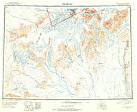
1950 · Talkeetna
USGS Topo · 1:250,000
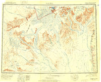
1951 · Talkeetna
USGS Topo · 1:250,000
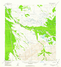
1958 · Talkeetna D-6
USGS Topo · 1:63,360
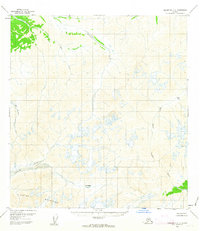
1958 · Talkeetna C-6
USGS Topo · 1:63,360
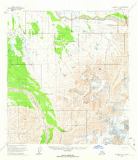
1958 · Talkeetna D-5
USGS Topo · 1:63,360
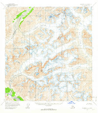
1958 · Talkeetna C-5
USGS Topo · 1:63,360
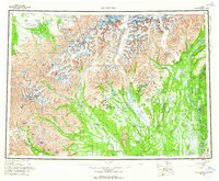
1958 · Talkeetna
USGS Topo · 1:250,000
1965 · Talkeetna
USGS Topo · 1:250,000
2017 · Talkeetna D-6 SW
USGS Topo · 1:25,000
2017 · Talkeetna D-6 NE
USGS Topo · 1:25,000