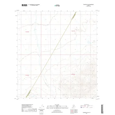
2017 Map of Talkeetna D-6 SW
USGS Topo · Published 2017About this map
The remote interior of Alaska's wilderness defines this landscape, where the administrative boundary between the Yukon-Koyukuk Census Area and the Denali Borough cuts diagonally across the terrain. This divide marks a transition in the Unorganized Borough, separating distinct regional jurisdictions in a region largely defined by its natural drainage patterns. The northern sections are dominated by the winding course of Pingston Cr, which meanders through the lower elevations, while the southwestern corner is shaped by the Clear Fork river. High elevation contours rise sharply in the southeast, contrasting the broad, water-carved valleys that characterize the rest of the quadrangle. This 2017 study captures a snapshot of a roadless environment where the primary features are defined by water flow and political boundaries rather than human settlement.
Find a feature on this map
7 named features on this map. Tap any name to fly to it.
Don’t see what you’re looking for? This feature index may not catch every label — zoom into the map to look around manually.
Map Details
Editions of this 2017 Talkeetna D-6 SW Map
This is the sole edition of this map. No revisions or reprints were ever made.
Other maps of this area
1949 · McGrath
USGS Topo · 1:250,000
1950 · McGrath
USGS Topo · 1:250,000
1950 · Talkeetna
USGS Topo · 1:250,000
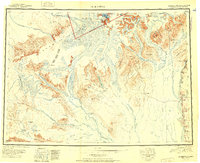
1951 · Talkeetna
USGS Topo · 1:250,000
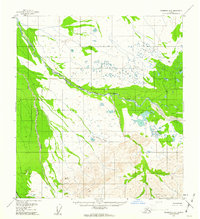
1958 · Talkeetna D-6
USGS Topo · 1:63,360
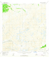
1958 · Talkeetna C-6
USGS Topo · 1:63,360
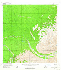
1958 · McGrath C-1
USGS Topo · 1:63,360
1958 · Talkeetna
USGS Topo · 1:250,000
1958 · McGrath D-1
USGS Topo · 1:63,360
1958 · McGrath
USGS Topo · 1:250,000