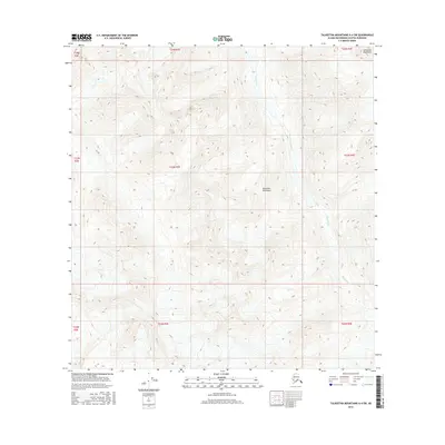
2016 Map of Talkeetna Mountains A-4 SW
USGS Topo · Published 2016About this map
The Sheep River carves a deep, winding path through this section of the Talkeetna Mountains in the Alaska-Matanuska-Susitna Borough. This high-altitude landscape is defined by the complex topography of the range, with elevations exceeding 6,000 feet. The river serves as the primary drainage for the surrounding slopes, following a south-southwestern course as it cuts through the mountains. While the area lacks developed settlements or roads, the map detail provides a clear view of the wilderness character of the region as it appeared in the mid-2010s, showing the specific drainage patterns and ridge lines that define this portion of the Alaskan interior.
Find a feature on this map
11 named features on this map. Tap any name to fly to it.
Don’t see what you’re looking for? This feature index may not catch every label — zoom into the map to look around manually.
Map Details
Editions of this 2016 Talkeetna Mountains A-4 SW Map
This is the sole edition of this map. No revisions or reprints were ever made.
Other maps of this area
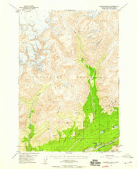
1949 · Anchorage D-5
USGS Topo · 1:63,360
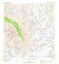
1949 · Talkeetna Mountains A-4
USGS Topo · 1:63,360

1950 · Talkeetna Mountains
USGS Topo · 1:250,000
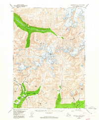
1950 · Anchorage D-6
USGS Topo · 1:63,360
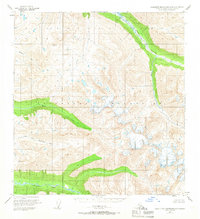
1950 · Talkeetna Mountains A-5
USGS Topo · 1:63,360
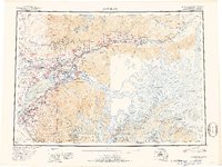
1951 · Anchorage
USGS Topo · 1:250,000
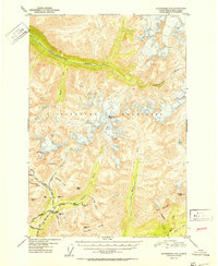
1952 · Anchorage D-6
USGS Topo · 1:63,360
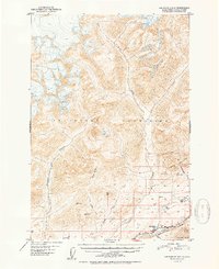
1952 · Anchorage D-5
USGS Topo · 1:63,360
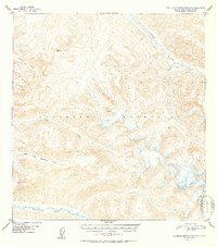
1952 · Talkeetna Mountains A-5
USGS Topo · 1:63,360
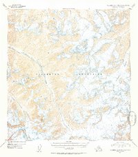
1954 · Talkeetna Mountains A-4
USGS Topo · 1:63,360