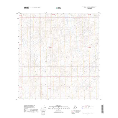
2023 Map of Talkeetna Mountains A-4 SW
USGS Topo · Published 2023About this map
The Talkeetna Mountains dominate this high-elevation landscape, where the terrain is defined by extreme relief and glacial drainage patterns. The Sheep River carves through the central portion of the quadrangle, serving as the primary hydrological feature in this wilderness area within the Matanuska-Susitna Borough. This 2023 survey by the U.S. Geological Survey shows a region largely devoid of human infrastructure, focusing instead on the complex topography and natural watercourses. The map provides a precise record of the public land survey system grid, including townships t24n r3e and t23n r3e, which are essential for property and boundary research in this part of Alaska.
Find a feature on this map
11 named features on this map. Tap any name to fly to it.
Don’t see what you’re looking for? This feature index may not catch every label — zoom into the map to look around manually.
Map Details
Editions of this 2023 Talkeetna Mountains A-4 SW Map
This is the sole edition of this map. No revisions or reprints were ever made.
Other maps of this area

1949 · Anchorage D-5
USGS Topo · 1:63,360

1949 · Talkeetna Mountains A-4
USGS Topo · 1:63,360

1950 · Talkeetna Mountains
USGS Topo · 1:250,000

1950 · Anchorage D-6
USGS Topo · 1:63,360

1950 · Talkeetna Mountains A-5
USGS Topo · 1:63,360

1951 · Anchorage
USGS Topo · 1:250,000

1952 · Anchorage D-6
USGS Topo · 1:63,360

1952 · Anchorage D-5
USGS Topo · 1:63,360
1952 · Talkeetna Mountains A-5
USGS Topo · 1:63,360
1954 · Talkeetna Mountains A-4
USGS Topo · 1:63,360