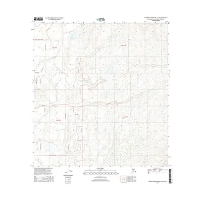
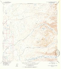
2016 Map of Talkeetna Mountains A-6 NW
USGS Topo · Published 2016About this map
Montana Creek and its complex network of tributaries define this Matanuska-Susitna landscape, where the shifting drainage patterns of the N Fork Montana Cr, Middle Fork Montana Cr, and S Fork Montana Cr intersect with a developing rural road grid. The presence of Baldy Lake in the north and the westward flow of Answer Cr reflect the glacially-influenced topography typical of the Talkeetna Mountains foothills. A mix of established routes like Mastodon Road and Yoder Road alongside newer residential loops such as Kaliak Loop and Malaspina Loop suggests a period of residential expansion into the Alaskan wilderness. Researchers can trace the intersection of early trails and modern access points like Birch Creek Boulevard and Montana Creek Road, which provide a detailed look at how human settlement has adapted to the region's abundant wetlands and creek crossings.
Find a feature on this map
29 named features on this map. Tap any name to fly to it.
Don’t see what you’re looking for? This feature index may not catch every label — zoom into the map to look around manually.
Map Details
Editions of this 2016 Talkeetna Mountains A-6 NW Map
This is the sole edition of this map. No revisions or reprints were ever made.
Other maps of this area
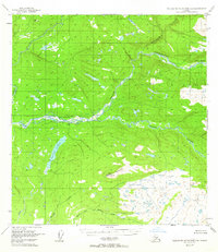
1949 · Talkeetna Mountains B-6
USGS Topo · 1:63,360

1950 · Talkeetna Mountains
USGS Topo · 1:250,000
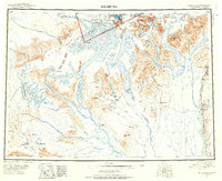
1950 · Talkeetna
USGS Topo · 1:250,000
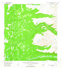
1950 · Talkeetna Mountains A-6
USGS Topo · 1:63,360
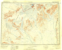
1951 · Talkeetna
USGS Topo · 1:250,000
1951 · Talkeetna B-1
USGS Topo · 1:63,360
1952 · Talkeetna Mountains B-6
USGS Topo · 1:63,360
1952 · Talkeetna A-1
USGS Topo · 1:63,360
1952 · Talkeetna Mountains A-6
USGS Topo · 1:63,360

1954 · Talkeetna Mountains
USGS Topo · 1:250,000