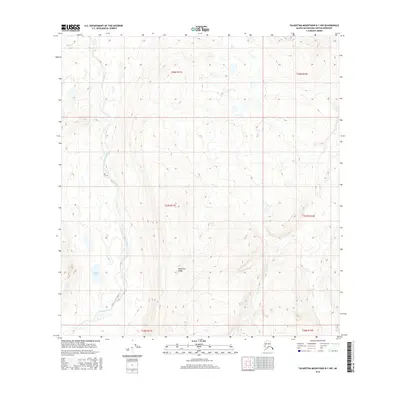
2016 Map of Talkeetna Mountains B-1 NW
USGS Topo · Published 2016About this map
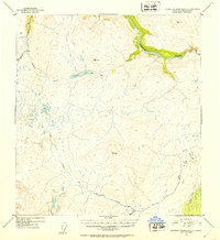
Oshetna River carves through this high-elevation landscape, forming a central drainage corridor that defines the drainage patterns of the western Talkeetna Mountains. To the west, the quiet waters of Square Lake sit near the river's bend, while the northern reaches are dominated by the Black River headwaters. The topography is marked by significant elevation gains toward the east and south, anchored by the prominent Big Bones Ridge which rises between the river valleys. This 2016 survey illustrates a largely untouched subarctic wilderness, where the Sanona Cr joins the larger watershed amidst complex glacial-carved terrain. The map provides precise detail for the Public Land Survey System, including township and range lines for T27N R11E and T28N R12E, essential for identifying specific tracts of land in this remote Alaskan borough.
Find a feature on this map
11 named features on this map. Tap any name to fly to it.
Don’t see what you’re looking for? This feature index may not catch every label — zoom into the map to look around manually.
Map Details
Editions of this 2016 Talkeetna Mountains B-1 NW Map
This is the sole edition of this map. No revisions or reprints were ever made.
Other maps of this area

1950 · Talkeetna Mountains
USGS Topo · 1:250,000
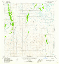
1951 · Talkeetna Mountains B-1
USGS Topo · 1:63,360
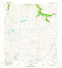
1951 · Talkeetna Mountains C-2
USGS Topo · 1:63,360
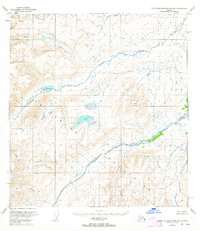
1951 · Talkeetna Mountains B-2
USGS Topo · 1:63,360
1951 · Talkeetna Mountains C-1
USGS Topo · 1:63,360
1952 · Talkeetna Mountains C-1
USGS Topo · 1:63,360
1952 · Talkeetna Mountains B-2
USGS Topo · 1:63,360
1952 · Talkeetna Mountains B-1
USGS Topo · 1:63,360
1952 · Talkeetna Mountains C-2
USGS Topo · 1:63,360

1954 · Talkeetna Mountains
USGS Topo · 1:250,000