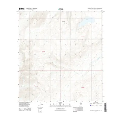
2016 Map of Talkeetna Mountains B-2 SW
USGS Topo · Published 2016About this map
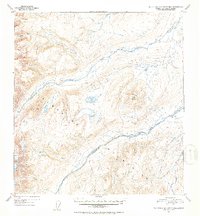
The Talkeetna Mountains define this high-altitude landscape in the Matanuska-Susitna Borough, where glacial and alpine hydrology creates a complex network of drainages. The Oshetna River and Black River anchor the hydrological system, while smaller tributaries like Granite Cr and Roaring Cr carve through the steep elevations. One of the most prominent natural features is Crater Lake, a high basin water body situated in the northeastern portion of the quadrangle. This 2016 survey captures the area in a state of wilderness, devoid of man-made structures or road networks, reflecting the untouched character of the Alaskan interior during this period. The map is a critical resource for understanding the natural topography and watershed boundaries within the Matanuska-Susitna region.
Find a feature on this map
10 named features on this map. Tap any name to fly to it.
Don’t see what you’re looking for? This feature index may not catch every label — zoom into the map to look around manually.
Map Details
Editions of this 2016 Talkeetna Mountains B-2 SW Map
This is the sole edition of this map. No revisions or reprints were ever made.
Other maps of this area

1950 · Talkeetna Mountains
USGS Topo · 1:250,000
1951 · Talkeetna Mountains A-2
USGS Topo · 1:63,360
1951 · Talkeetna Mountains B-3
USGS Topo · 1:63,360
1951 · Talkeetna Mountains A-3
USGS Topo · 1:63,360
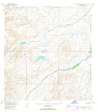
1951 · Talkeetna Mountains B-2
USGS Topo · 1:63,360
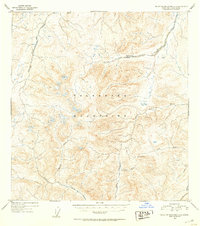
1952 · Talkeetna Mountains A-2
USGS Topo · 1:63,360
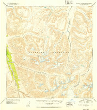
1952 · Talkeetna Mountains B-3
USGS Topo · 1:63,360
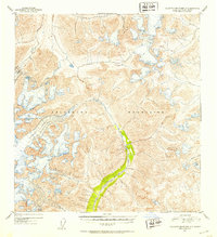
1952 · Talkeetna Mountains A-3
USGS Topo · 1:63,360
1952 · Talkeetna Mountains B-2
USGS Topo · 1:63,360

1954 · Talkeetna Mountains
USGS Topo · 1:250,000