
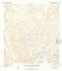
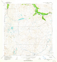
1952 Map of Talkeetna Mountains B-3
USGS Topo · Published 1953About this map
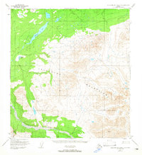
The Talkeetna Mountains define this high-altitude landscape as it appeared during early 1950s aerial surveys. Dominating the central and eastern portions of the sheet, the terrain is shaped by a dense network of high ridges and drainage basins. The Talkeetna River flows along the western edge, fed by mountain tributaries such as Aspen Creek and Clear Creek. To the east, the Kosina River carves a significant corridor through the peaks, joined by northern flows from John Creek and George Creek. This map captures a pristine wilderness before significant modern infrastructure reached these interior Alaskan reaches, showing the complex natural hydrology and topographic contours that determined early navigation through the range.
Find a feature on this map
8 named features on this map. Tap any name to fly to it.
Don’t see what you’re looking for? This feature index may not catch every label — zoom into the map to look around manually.
Map Details
Editions of this 1952 Talkeetna Mountains B-3 Map
2 editions found
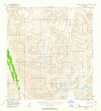
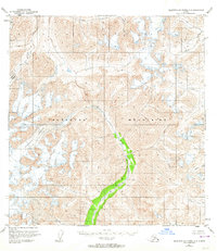
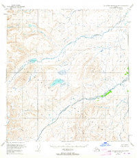
Other maps of this area
1949 · Talkeetna Mountains A-4
USGS Topo · 1:63,360

1950 · Talkeetna Mountains
USGS Topo · 1:250,000
1950 · Talkeetna Mountains B-4
USGS Topo · 1:63,360
1951 · Talkeetna Mountains A-2
USGS Topo · 1:63,360
1951 · Talkeetna Mountains C-2
USGS Topo · 1:63,360
1951 · Talkeetna Mountains B-3
USGS Topo · 1:63,360
1951 · Talkeetna Mountains A-3
USGS Topo · 1:63,360
1951 · Talkeetna Mountains B-2
USGS Topo · 1:63,360
1951 · Talkeetna Mountains C-4
USGS Topo · 1:63,360
1951 · Talkeetna Mountains C-3
USGS Topo · 1:63,360