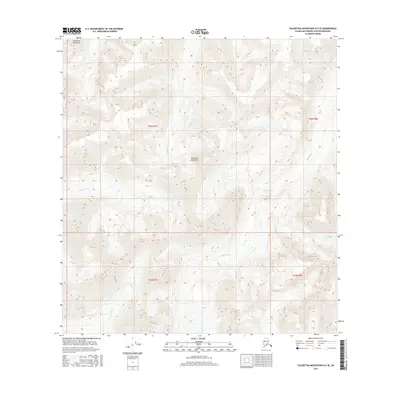
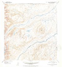
2016 Map of Talkeetna Mountains B-3 SE
USGS Topo · Published 2016About this map
The Talkeetna Mountains define the character of this 2016 survey, where high-elevation terrain dictates the flow of glacial-fed drainages across the Matanuska-Susitna Borough. The drainage basin is anchored by the Black River, which cuts through the eastern sections of the quadrangle while smaller tributaries like Kosina Cr and Aspen Cr carve deep paths through the high country. The map provides an exacting look at the land's natural geometry, illustrating the intricate network of ridgelines and valleys that remain largely untouched by road infrastructure or permanent settlements. By examining the township and range boundaries, such as t26n r7e and t25n r8e, researchers can orient themselves within the legal divisions of the Alaskan wilderness during the early twenty-first century.
Find a feature on this map
8 named features on this map. Tap any name to fly to it.
Don’t see what you’re looking for? This feature index may not catch every label — zoom into the map to look around manually.
Map Details
Editions of this 2016 Talkeetna Mountains B-3 SE Map
This is the sole edition of this map. No revisions or reprints were ever made.
Other maps of this area

1950 · Talkeetna Mountains
USGS Topo · 1:250,000
1951 · Talkeetna Mountains A-2
USGS Topo · 1:63,360
1951 · Talkeetna Mountains B-3
USGS Topo · 1:63,360
1951 · Talkeetna Mountains A-3
USGS Topo · 1:63,360
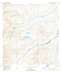
1951 · Talkeetna Mountains B-2
USGS Topo · 1:63,360
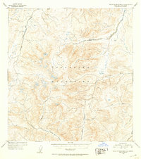
1952 · Talkeetna Mountains A-2
USGS Topo · 1:63,360
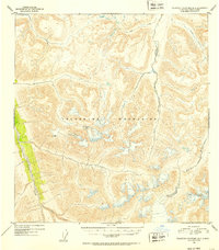
1952 · Talkeetna Mountains B-3
USGS Topo · 1:63,360
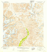
1952 · Talkeetna Mountains A-3
USGS Topo · 1:63,360
1952 · Talkeetna Mountains B-2
USGS Topo · 1:63,360

1954 · Talkeetna Mountains
USGS Topo · 1:250,000