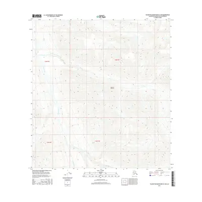
2016 Map of Talkeetna Mountains B-3 SW
USGS Topo · Published 2016About this map
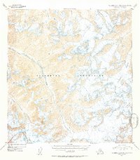
The Talkeetna Mountains define the high-elevation terrain of this quadrangle, where steep ridgelines descend into significant glacial and mountain river valleys. The Talkeetna River flows through the western portion of the sheet, serving as the primary drainage for the surrounding slopes. Fed by high-altitude snowmelt, multiple tributaries including Aspen Creek (also labeled as Aspen Cr) and Clear Creek (noted in parts as Clear Cr) carve deeply through the landscape. This 2016 survey captures a purely natural environment without named settlements or infrastructure, highlighting the complex drainage patterns of the Matanuska-Susitna region. The map provides precise topographic detail for those studying the hydrology and landforms of the southern Talkeetna range, documenting the paths of these mountain waterways as they existed in the early twenty-first century.
Find a feature on this map
10 named features on this map. Tap any name to fly to it.
Don’t see what you’re looking for? This feature index may not catch every label — zoom into the map to look around manually.
Map Details
Editions of this 2016 Talkeetna Mountains B-3 SW Map
This is the sole edition of this map. No revisions or reprints were ever made.
Other maps of this area
1949 · Talkeetna Mountains A-4
USGS Topo · 1:63,360

1950 · Talkeetna Mountains
USGS Topo · 1:250,000
1950 · Talkeetna Mountains B-4
USGS Topo · 1:63,360
1951 · Talkeetna Mountains B-3
USGS Topo · 1:63,360
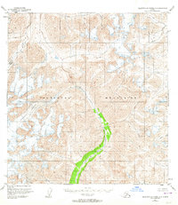
1951 · Talkeetna Mountains A-3
USGS Topo · 1:63,360
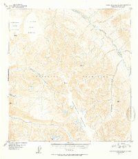
1952 · Talkeetna Mountains B-4
USGS Topo · 1:63,360
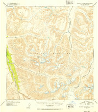
1952 · Talkeetna Mountains B-3
USGS Topo · 1:63,360
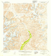
1952 · Talkeetna Mountains A-3
USGS Topo · 1:63,360
1954 · Talkeetna Mountains A-4
USGS Topo · 1:63,360

1954 · Talkeetna Mountains
USGS Topo · 1:250,000