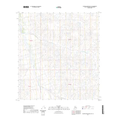
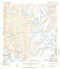
2023 Map of Talkeetna Mountains B-3 SW
USGS Topo · Published 2023About this map
The Talkeetna River corridor dominates this remote Alaskan landscape, carving through a region defined by high-elevation drainage systems and prominent glacial valleys. The river serves as the primary hydrological artery, joined by smaller tributaries such as Aspen Creek and Clear Creek. This map documents a wilderness terrain largely absent of human infrastructure, focusing instead on the precise natural contours and water courses within the Matanuska-Susitna Borough. The relationship between the meandering Talkeetna River and the steep surrounding gradients reveals the complex erosion patterns typical of this subarctic mountain environment. It remains an essential reference for understanding the unmodified state of this river basin in the early 21st century.
Find a feature on this map
7 named features on this map. Tap any name to fly to it.
Don’t see what you’re looking for? This feature index may not catch every label — zoom into the map to look around manually.
Map Details
Editions of this 2023 Talkeetna Mountains B-3 SW Map
This is the sole edition of this map. No revisions or reprints were ever made.
Other maps of this area

1949 · Talkeetna Mountains A-4
USGS Topo · 1:63,360

1950 · Talkeetna Mountains
USGS Topo · 1:250,000

1950 · Talkeetna Mountains B-4
USGS Topo · 1:63,360

1951 · Talkeetna Mountains B-3
USGS Topo · 1:63,360

1951 · Talkeetna Mountains A-3
USGS Topo · 1:63,360
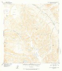
1952 · Talkeetna Mountains B-4
USGS Topo · 1:63,360
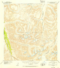
1952 · Talkeetna Mountains B-3
USGS Topo · 1:63,360
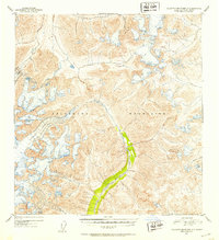
1952 · Talkeetna Mountains A-3
USGS Topo · 1:63,360
1954 · Talkeetna Mountains A-4
USGS Topo · 1:63,360

1954 · Talkeetna Mountains
USGS Topo · 1:250,000