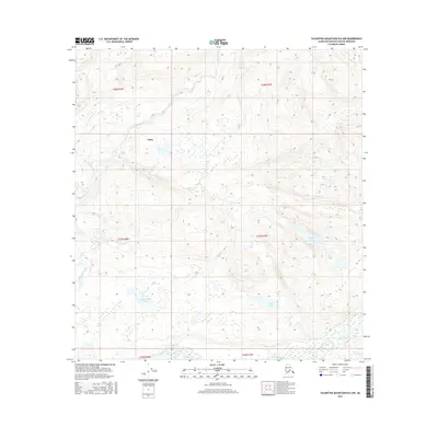
2016 Map of Talkeetna Mountains B-6 NW
USGS Topo · Published 2016About this map
Chase serves as the primary named focal point in this 2016 survey, situated among a complex network of waterways in the Matanuska-Susitna Borough. The landscape is defined by the convergence of major glacial runoff channels, most notably the Talkeetna River and Sheep River along the southern margin. A series of smaller, distinct water bodies including Mama Bear Lake, Katie Lake, and Sockeye Lake are scattered across the terrain, suggesting a classic post-glacial topography with numerous kettle lakes and wetland depressions. Chunilna Creek and its tributary, Dog Hair Cr, dominate the western half of the quadrangle, illustrating the intricate drainage patterns that characterize this Alaskan interior. The mapping provides precise elevation data for the foothills and low-lying basins that separate these significant river systems, useful for understanding the hydrologic connectivity of the region.
Find a feature on this map
15 named features on this map. Tap any name to fly to it.
Don’t see what you’re looking for? This feature index may not catch every label — zoom into the map to look around manually.
Map Details
Editions of this 2016 Talkeetna Mountains B-6 NW Map
This is the sole edition of this map. No revisions or reprints were ever made.
Other maps of this area
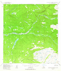
1949 · Talkeetna Mountains B-6
USGS Topo · 1:63,360
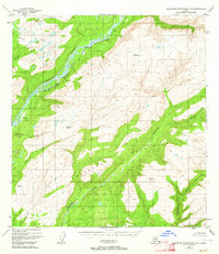
1949 · Talkeetna Mountains C-6
USGS Topo · 1:63,360

1950 · Talkeetna Mountains
USGS Topo · 1:250,000
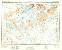
1950 · Talkeetna
USGS Topo · 1:250,000
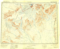
1951 · Talkeetna
USGS Topo · 1:250,000
1951 · Talkeetna B-1
USGS Topo · 1:63,360
1951 · Talkeetna C-1
USGS Topo · 1:63,360
1952 · Talkeetna Mountains C-6
USGS Topo · 1:63,360
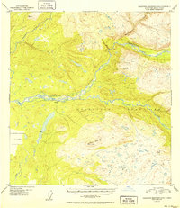
1952 · Talkeetna Mountains B-6
USGS Topo · 1:63,360

1954 · Talkeetna Mountains
USGS Topo · 1:250,000