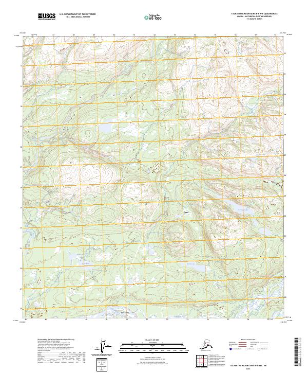
2023 Map of Talkeetna Mountains B-6 NW
USGS Topo · Published 2023About this map
Talkeetna marks the southern edge of this landscape where the Talkeetna River and Chunilna Creek converge. The topography is defined by a dense network of water bodies and drainages, including the aptly named Mama Bear Lake and Papa Bear Lake in the southwest and Sockeye Lake further east. The small settlement of Chase sits at the base of rising terrain that transitions from river bottomlands to the interior highlands. This 2023 survey illustrates the remote character of the Matanuska-Susitna Borough, highlighting how modern settlement patterns remain tied to the major river corridors like the Sheep River while much of the surrounding territory, such as the area around Ora Lake, remains dominated by natural features.
Find a feature on this map
17 named features on this map. Tap any name to fly to it.
Don’t see what you’re looking for? This feature index may not catch every label — zoom into the map to look around manually.
Map Details
Editions of this 2023 Talkeetna Mountains B-6 NW Map
This is the sole edition of this map. No revisions or reprints were ever made.
Other maps of this area

1949 · Talkeetna Mountains B-6
USGS Topo · 1:63,360

1949 · Talkeetna Mountains C-6
USGS Topo · 1:63,360

1950 · Talkeetna Mountains
USGS Topo · 1:250,000

1950 · Talkeetna
USGS Topo · 1:250,000

1951 · Talkeetna
USGS Topo · 1:250,000

1951 · Talkeetna B-1
USGS Topo · 1:63,360

1951 · Talkeetna C-1
USGS Topo · 1:63,360

1952 · Talkeetna Mountains C-6
USGS Topo · 1:63,360

1952 · Talkeetna Mountains B-6
USGS Topo · 1:63,360

1954 · Talkeetna Mountains
USGS Topo · 1:250,000