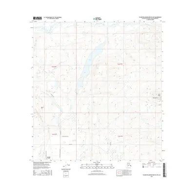
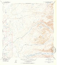
2016 Map of Talkeetna Mountains B-6 SW
USGS Topo · Published 2016About this map
Larson Lake sits at the center of this 2016 survey, a primary water body in a landscape defined by glacial activity and drainage networks. The northern reach is bounded by the Talkeetna River and Sheep River, while the southern terrain transitions into the elevations of the Bartlett Hills. This era of the Matanuska-Susitna region shows a mix of wilderness and remote residential development near Susitna North. Roadways such as Mastodoon Road and the Susitna North Jarvis Road push into the interior, providing access to isolated landmarks like the Bald Mountain Airport on the eastern edge of the quadrangle. Local routes such as Loriens Trail and Answer Creek Drive demonstrate how settlement patterns have begun to branch out from established corridors into the backcountry near Answer Cr and NW Fork Montana Cr.
Find a feature on this map
19 named features on this map. Tap any name to fly to it.
Don’t see what you’re looking for? This feature index may not catch every label — zoom into the map to look around manually.
Map Details
Editions of this 2016 Talkeetna Mountains B-6 SW Map
This is the sole edition of this map. No revisions or reprints were ever made.
Other maps of this area
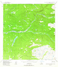
1949 · Talkeetna Mountains B-6
USGS Topo · 1:63,360

1950 · Talkeetna Mountains
USGS Topo · 1:250,000
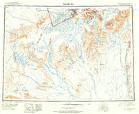
1950 · Talkeetna
USGS Topo · 1:250,000
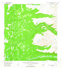
1950 · Talkeetna Mountains A-6
USGS Topo · 1:63,360
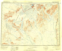
1951 · Talkeetna
USGS Topo · 1:250,000
1951 · Talkeetna B-1
USGS Topo · 1:63,360
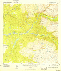
1952 · Talkeetna Mountains B-6
USGS Topo · 1:63,360
1952 · Talkeetna A-1
USGS Topo · 1:63,360
1952 · Talkeetna Mountains A-6
USGS Topo · 1:63,360

1954 · Talkeetna Mountains
USGS Topo · 1:250,000