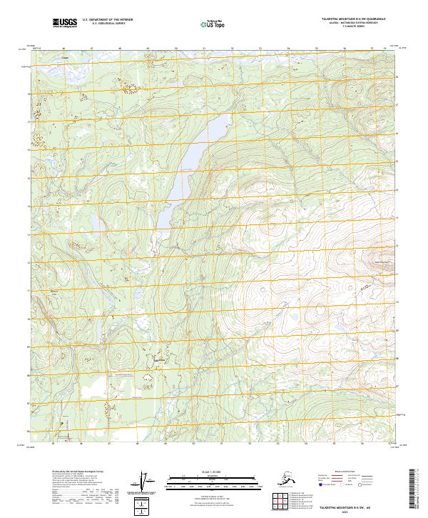
2023 Map of Talkeetna Mountains B-6 SW
USGS Topo · Published 2023About this map
Talkeetna and the northern settlement of Chase anchor this Matanuska-Susitna landscape, where the confluence of the Talkeetna River and local stream networks shape the settlement pattern. The terrain shifts from the lowlands of the river valley toward the prominent elevations of Bald Mountain and the Bartlett Hills. Much of the human footprint is defined by a network of localized access routes like Mastodon Road (Birch Creek), Loriens Trail, and Jarvis Road, which navigate the wetlands and woods surrounding Larson Lake.
Find a feature on this map
20 named features on this map. Tap any name to fly to it.
Don’t see what you’re looking for? This feature index may not catch every label — zoom into the map to look around manually.
Map Details
Editions of this 2023 Talkeetna Mountains B-6 SW Map
This is the sole edition of this map. No revisions or reprints were ever made.
Other maps of this area

1949 · Talkeetna Mountains B-6
USGS Topo · 1:63,360

1950 · Talkeetna Mountains
USGS Topo · 1:250,000

1950 · Talkeetna
USGS Topo · 1:250,000

1950 · Talkeetna Mountains A-6
USGS Topo · 1:63,360

1951 · Talkeetna
USGS Topo · 1:250,000

1951 · Talkeetna B-1
USGS Topo · 1:63,360

1952 · Talkeetna Mountains B-6
USGS Topo · 1:63,360

1952 · Talkeetna A-1
USGS Topo · 1:63,360
1952 · Talkeetna Mountains A-6
USGS Topo · 1:63,360

1954 · Talkeetna Mountains
USGS Topo · 1:250,000