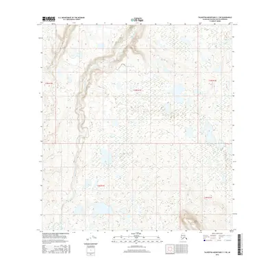
2016 Map of Talkeetna Mountains C-1 SW
USGS Topo · Published 2016About this map
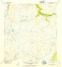
The Oshetna River carves a dominant path through this portion of the Talkeetna Mountains, defining a landscape of complex drainage and dramatic elevation changes. The river's broad corridor, fed by smaller tributaries like Goose Creek, represents a primary navigational and ecological artery in this Matanuska-Susitna borough terrain. In the southeastern corner, the prominent topographic rise of Lone Butte serves as a singular, identifiable landmark amidst the surrounding peaks and basins. This 2016 survey provides a high-resolution view of the area's natural hydrology and surface relief, reflecting the modern state of these remote uplands before further shifting environmental or surveying updates.
Find a feature on this map
8 named features on this map. Tap any name to fly to it.
Don’t see what you’re looking for? This feature index may not catch every label — zoom into the map to look around manually.
Map Details
Editions of this 2016 Talkeetna Mountains C-1 SW Map
This is the sole edition of this map. No revisions or reprints were ever made.
Other maps of this area

1950 · Talkeetna Mountains
USGS Topo · 1:250,000
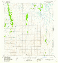
1951 · Talkeetna Mountains B-1
USGS Topo · 1:63,360
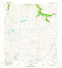
1951 · Talkeetna Mountains C-2
USGS Topo · 1:63,360
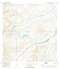
1951 · Talkeetna Mountains B-2
USGS Topo · 1:63,360
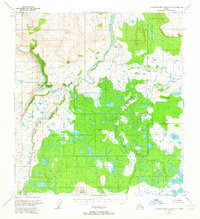
1951 · Talkeetna Mountains C-1
USGS Topo · 1:63,360
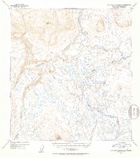
1952 · Talkeetna Mountains C-1
USGS Topo · 1:63,360
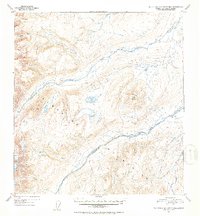
1952 · Talkeetna Mountains B-2
USGS Topo · 1:63,360
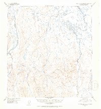
1952 · Talkeetna Mountains B-1
USGS Topo · 1:63,360
1952 · Talkeetna Mountains C-2
USGS Topo · 1:63,360

1954 · Talkeetna Mountains
USGS Topo · 1:250,000