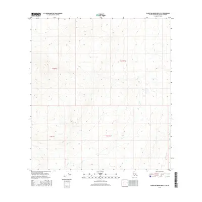
2016 Map of Talkeetna Mountains C-2 SE
USGS Topo · Published 2016About this map
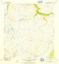
The high alpine terrain of the Matanuska-Susitna Borough is meticulously detailed in this topographic study, where the headwaters of Goose Cr and Busch Cr carve through the landscape. The map provides a clear look at the drainage patterns and elevation contours across the boundary of t29n r9e and t29n r10e, as well as the southern townships of t28n r9e and t28n r10e. This area is defined by its dramatic relief and lack of modern infrastructure, with the survey focusing on the natural geography and the intricate network of seasonal streams that feed the larger regional watersheds. The elevation data reveals the stark character of the Talkeetna Mountains, emphasizing the steep slopes and narrow valleys that dominate this portion of the Alaskan interior.
Find a feature on this map
6 named features on this map. Tap any name to fly to it.
Don’t see what you’re looking for? This feature index may not catch every label — zoom into the map to look around manually.
Map Details
Editions of this 2016 Talkeetna Mountains C-2 SE Map
This is the sole edition of this map. No revisions or reprints were ever made.
Other maps of this area

1950 · Talkeetna Mountains
USGS Topo · 1:250,000
1951 · Talkeetna Mountains B-1
USGS Topo · 1:63,360
1951 · Talkeetna Mountains C-2
USGS Topo · 1:63,360
1951 · Talkeetna Mountains B-2
USGS Topo · 1:63,360
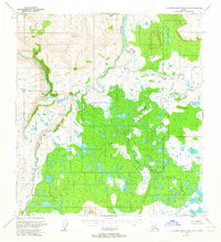
1951 · Talkeetna Mountains C-1
USGS Topo · 1:63,360
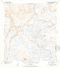
1952 · Talkeetna Mountains C-1
USGS Topo · 1:63,360
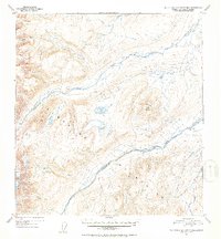
1952 · Talkeetna Mountains B-2
USGS Topo · 1:63,360
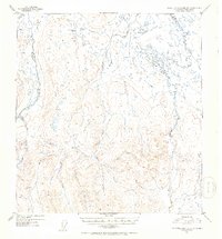
1952 · Talkeetna Mountains B-1
USGS Topo · 1:63,360
1952 · Talkeetna Mountains C-2
USGS Topo · 1:63,360

1954 · Talkeetna Mountains
USGS Topo · 1:250,000