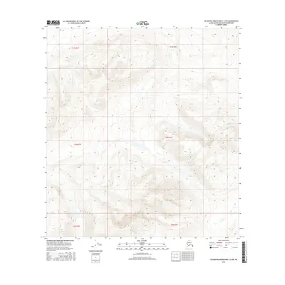
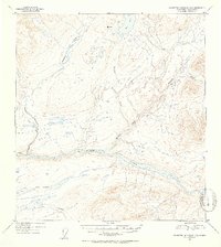
2016 Map of Talkeetna Mountains C-3 NW
USGS Topo · Published 2016About this map
Fog Creek and Tsisi Creek define the drainage patterns of this high-elevation landscape in the Matanuska-Susitna Borough. The 2016 survey illustrates a largely pristine wilderness within the Talkeetna Mountains, characterized by dramatic elevation shifts and steep-walled valleys. The mapping is structured around township and range lines, including t30n r6e, which organize this vast, roadless area. While the terrain is undeveloped, the detailed contour intervals provide a precise record of the alpine geography and glacial carved features that dominate this part of Alaska.
Find a feature on this map
8 named features on this map. Tap any name to fly to it.
Don’t see what you’re looking for? This feature index may not catch every label — zoom into the map to look around manually.
Map Details
Editions of this 2016 Talkeetna Mountains C-3 NW Map
This is the sole edition of this map. No revisions or reprints were ever made.
Other maps of this area

1950 · Talkeetna Mountains
USGS Topo · 1:250,000
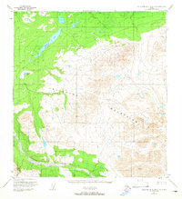
1951 · Talkeetna Mountains C-4
USGS Topo · 1:63,360
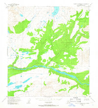
1951 · Talkeetna Mountains D-3
USGS Topo · 1:63,360
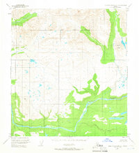
1951 · Talkeetna Mountains D-4
USGS Topo · 1:63,360
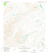
1951 · Talkeetna Mountains C-3
USGS Topo · 1:63,360
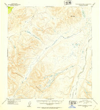
1952 · Talkeetna Mountains C-3
USGS Topo · 1:63,360
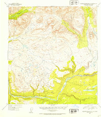
1952 · Talkeetna Mountains D-4
USGS Topo · 1:63,360
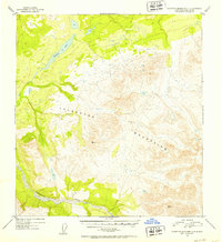
1952 · Talkeetna Mountains C-4
USGS Topo · 1:63,360
1953 · Talkeetna Mountains D-3
USGS Topo · 1:63,360

1954 · Talkeetna Mountains
USGS Topo · 1:250,000