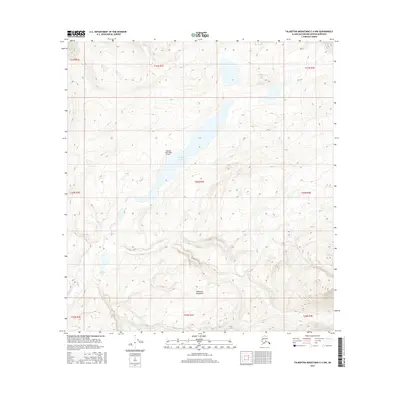
2016 Map of Talkeetna Mountains C-4 NW
USGS Topo · Published 2016About this map
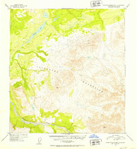
Stephan Lake serves as a central landmark in this high-elevation landscape of the Talkeetna Mountains. The map documents a sparsely populated but geographically significant portion of the Matanuska-Susitna Borough, where human presence is primarily marked by the Stephan Lake Lodge Airport. This remote airstrip provides the essential connection between the outside world and the lake's shores, indicating the area's role as a destination for wilderness access and backcountry aviation. Moving across the terrain, drainage patterns are defined by Prairie Cr, which carves through the undulating topography west of the main lake. To the southwest, the smaller Daneka Lake sits amidst a network of intricate contour lines, illustrating the complex glacial or tectonic history of this Alaskan range.
Find a feature on this map
14 named features on this map. Tap any name to fly to it.
Don’t see what you’re looking for? This feature index may not catch every label — zoom into the map to look around manually.
Map Details
Editions of this 2016 Talkeetna Mountains C-4 NW Map
This is the sole edition of this map. No revisions or reprints were ever made.
Other maps of this area

1950 · Talkeetna Mountains
USGS Topo · 1:250,000
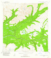
1950 · Talkeetna Mountains D-5
USGS Topo · 1:63,360
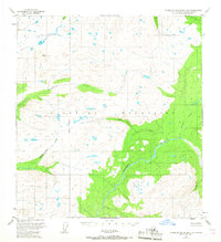
1950 · Talkeetna Mountains C-5
USGS Topo · 1:63,360
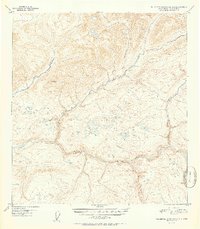
1951 · Talkeetna Mountains D-5
USGS Topo · 1:63,360
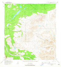
1951 · Talkeetna Mountains C-4
USGS Topo · 1:63,360
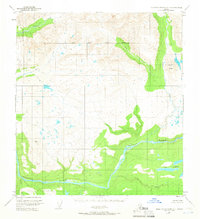
1951 · Talkeetna Mountains D-4
USGS Topo · 1:63,360
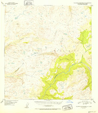
1952 · Talkeetna Mountains C-5
USGS Topo · 1:63,360
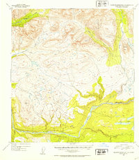
1952 · Talkeetna Mountains D-4
USGS Topo · 1:63,360
1952 · Talkeetna Mountains C-4
USGS Topo · 1:63,360

1954 · Talkeetna Mountains
USGS Topo · 1:250,000