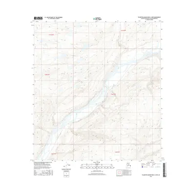
2016 Map of Talkeetna Mountains C-6 NW
USGS Topo · Published 2016About this map
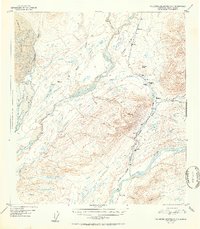
The Susitna River dominates this landscape, its braided channels cutting through the Matanuska-Susitna Borough. The 2016 survey illustrates the complex hydrology of this glacial waterway, where numerous gravel bars and shifting islands define the riverbed. Joining the main flow from the west is Troublesome Cr, which descends from the higher elevations of the Talkeetna Mountains. This map reveals a largely undeveloped wilderness within the Public Land Survey System designations of t30n r3w and surrounding townships. The absence of roads or established settlements highlights the remote character of this region, which remains primarily shaped by natural water cycles and the steep relief of the inland Alaskan terrain.
Find a feature on this map
8 named features on this map. Tap any name to fly to it.
Don’t see what you’re looking for? This feature index may not catch every label — zoom into the map to look around manually.
Map Details
Editions of this 2016 Talkeetna Mountains C-6 NW Map
This is the sole edition of this map. No revisions or reprints were ever made.
Other maps of this area
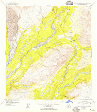
1949 · Talkeetna Mountains D-6
USGS Topo · 1:63,360
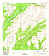
1949 · Talkeetna Mountains C-6
USGS Topo · 1:63,360

1950 · Talkeetna Mountains
USGS Topo · 1:250,000
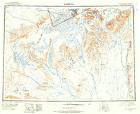
1950 · Talkeetna
USGS Topo · 1:250,000
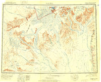
1951 · Talkeetna
USGS Topo · 1:250,000
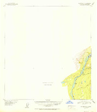
1951 · Talkeetna C-1
USGS Topo · 1:63,360
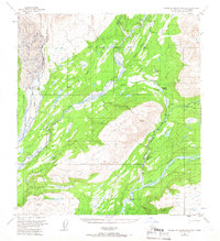
1951 · Talkeetna Mountains D-6
USGS Topo · 1:63,360
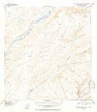
1952 · Talkeetna Mountains C-6
USGS Topo · 1:63,360
1952 · Talkeetna Mountains D-6
USGS Topo · 1:63,360

1954 · Talkeetna Mountains
USGS Topo · 1:250,000