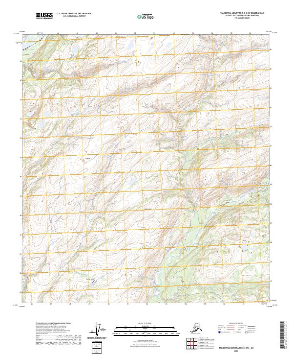
2023 Map of Talkeetna Mountains C-6 SW
USGS Topo · Published 2023About this map
The Susitna River flows along the western edge of this Matanuska-Susitna borough landscape, where the settlement of Chase serves as a primary point of reference. The terrain is defined by a series of significant watercourses, including Deadhorse Creek, Lane Creek, and the winding path of Chunilna Creek further east. A notable landing strip, Shump Airport, provides essential air access to this pocket of the Alaskan interior, illustrating the continued importance of small-scale aviation for remote connectivity.
Find a feature on this map
12 named features on this map. Tap any name to fly to it.
Don’t see what you’re looking for? This feature index may not catch every label — zoom into the map to look around manually.
Map Details
Editions of this 2023 Talkeetna Mountains C-6 SW Map
This is the sole edition of this map. No revisions or reprints were ever made.
Other maps of this area

1949 · Talkeetna Mountains B-6
USGS Topo · 1:63,360

1949 · Talkeetna Mountains C-6
USGS Topo · 1:63,360

1950 · Talkeetna Mountains
USGS Topo · 1:250,000

1950 · Talkeetna
USGS Topo · 1:250,000

1951 · Talkeetna
USGS Topo · 1:250,000

1951 · Talkeetna B-1
USGS Topo · 1:63,360

1951 · Talkeetna C-1
USGS Topo · 1:63,360

1952 · Talkeetna Mountains C-6
USGS Topo · 1:63,360

1952 · Talkeetna Mountains B-6
USGS Topo · 1:63,360

1954 · Talkeetna Mountains
USGS Topo · 1:250,000