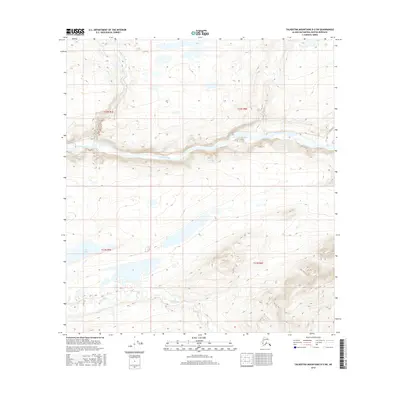
2016 Map of Talkeetna Mountains D-3 SW
USGS Topo · Published 2016About this map
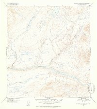
The Susitna River cuts a deep, winding path through the center of this terrain, serving as the dominant hydrologic feature of the landscape. To the north, the waters of Deadman Creek flow south toward the main river channel, while Watana Creek enters from the east. The southern portion of the quadrangle is defined by the Fog Lakes and the drainage of Fog Creek, illustrating the complex water systems that define this part of the Talkeetna Mountains. This 2016 survey by the U.S. Geological Survey details a region without established roads or settlements, where the topography is shaped entirely by these primary watercourses and the high-elevation basins between them. The map provides a clear record of the area's natural drainage patterns before any modern infrastructure altered the flow of the river or its many tributaries.
Find a feature on this map
9 named features on this map. Tap any name to fly to it.
Don’t see what you’re looking for? This feature index may not catch every label — zoom into the map to look around manually.
Map Details
Editions of this 2016 Talkeetna Mountains D-3 SW Map
This is the sole edition of this map. No revisions or reprints were ever made.
Other maps of this area

1950 · Talkeetna Mountains
USGS Topo · 1:250,000
1951 · Talkeetna Mountains C-4
USGS Topo · 1:63,360
1951 · Talkeetna Mountains D-3
USGS Topo · 1:63,360
1951 · Talkeetna Mountains D-4
USGS Topo · 1:63,360
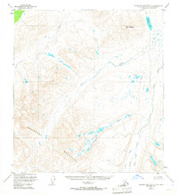
1951 · Talkeetna Mountains C-3
USGS Topo · 1:63,360
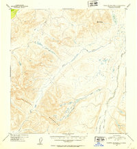
1952 · Talkeetna Mountains C-3
USGS Topo · 1:63,360
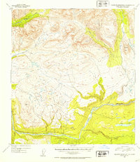
1952 · Talkeetna Mountains D-4
USGS Topo · 1:63,360
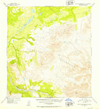
1952 · Talkeetna Mountains C-4
USGS Topo · 1:63,360
1953 · Talkeetna Mountains D-3
USGS Topo · 1:63,360

1954 · Talkeetna Mountains
USGS Topo · 1:250,000