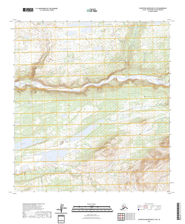
2023 Map of Talkeetna Mountains D-3 SW
USGS Topo · Published 2023About this map
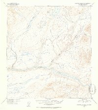
The Susitna River carves a deep path through the Susitna Valley in this modern survey of the Talkeetna Mountains region. This landscape is defined by its complex hydrology, where Fog Lakes and smaller tributary systems like Fog Creek drain toward the primary river corridor. To the east, Watana Creek joins the Susitna, a point of geographical interest in a region primarily managed through the Public Land Survey System as indicated by the township and range markers for t32n r5e and t31n r6e. The drainage patterns of Kacueq Creek in the north further illustrate the watershed's structure. This 2023 edition provides an updated view of the Matanuska-Susitna Borough’s interior, documenting the contemporary state of these subarctic watercourses and valley systems.
Find a feature on this map
10 named features on this map. Tap any name to fly to it.
Don’t see what you’re looking for? This feature index may not catch every label — zoom into the map to look around manually.
Map Details
Editions of this 2023 Talkeetna Mountains D-3 SW Map
This is the sole edition of this map. No revisions or reprints were ever made.
Other maps of this area

1950 · Talkeetna Mountains
USGS Topo · 1:250,000

1951 · Talkeetna Mountains C-4
USGS Topo · 1:63,360

1951 · Talkeetna Mountains D-3
USGS Topo · 1:63,360

1951 · Talkeetna Mountains D-4
USGS Topo · 1:63,360

1951 · Talkeetna Mountains C-3
USGS Topo · 1:63,360
1952 · Talkeetna Mountains C-3
USGS Topo · 1:63,360
1952 · Talkeetna Mountains D-4
USGS Topo · 1:63,360
1952 · Talkeetna Mountains C-4
USGS Topo · 1:63,360
1953 · Talkeetna Mountains D-3
USGS Topo · 1:63,360

1954 · Talkeetna Mountains
USGS Topo · 1:250,000