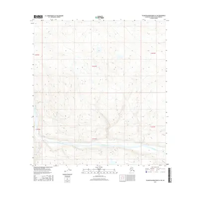
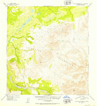
2016 Map of Talkeetna Mountains D-4 SW
USGS Topo · Published 2016About this map
The Susitna River dominates the southern reaches of this landscape, its wide braided channels cutting through the lower elevations of the Matanuska-Susitna region. This 2016 survey documents the vast, unpopulated terrain within the t32n r2e, t32n r3e, and t31n r3e townships. The topography is defined by sharp elevation shifts, where contour lines tightly cluster around numerous unnamed peaks and ridges, separated by glacial valleys and high-altitude lakes. The absence of roads, settlements, or named structures emphasize the wilderness character of the Talkeetna Mountains interior during the early 21st century. Researchers can trace the specific hydrography and terrain patterns of this remote quadrant, which remains largely untouched by modern infrastructure.
Find a feature on this map
7 named features on this map. Tap any name to fly to it.
Don’t see what you’re looking for? This feature index may not catch every label — zoom into the map to look around manually.
Map Details
Editions of this 2016 Talkeetna Mountains D-4 SW Map
This is the sole edition of this map. No revisions or reprints were ever made.
Other maps of this area

1950 · Talkeetna Mountains
USGS Topo · 1:250,000
1950 · Talkeetna Mountains D-5
USGS Topo · 1:63,360
1950 · Talkeetna Mountains C-5
USGS Topo · 1:63,360
1951 · Talkeetna Mountains D-5
USGS Topo · 1:63,360
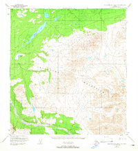
1951 · Talkeetna Mountains C-4
USGS Topo · 1:63,360
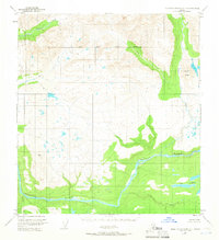
1951 · Talkeetna Mountains D-4
USGS Topo · 1:63,360
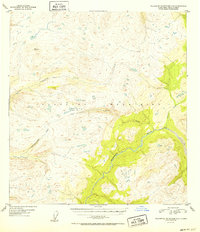
1952 · Talkeetna Mountains C-5
USGS Topo · 1:63,360
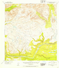
1952 · Talkeetna Mountains D-4
USGS Topo · 1:63,360
1952 · Talkeetna Mountains C-4
USGS Topo · 1:63,360

1954 · Talkeetna Mountains
USGS Topo · 1:250,000