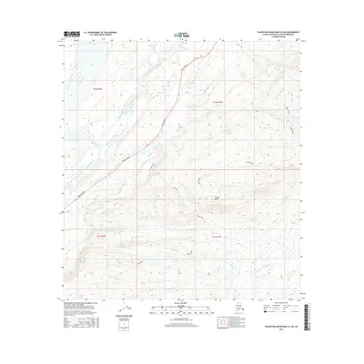
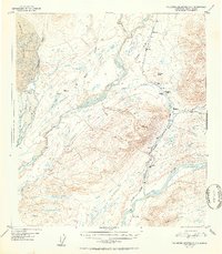
2016 Map of Talkeetna Mountains D-6 SW
USGS Topo · Published 2016About this map
K'esugi Ridge and the lower Kesugi Ridge dominate the landscape in this region of the Talkeetna Mountains, where high-elevation terrain drops toward the river valleys. The Parks Highway serves as the primary corridor for movement through the territory, roughly paralleling the course of the Chulitna River. This transportation route is essential for navigating the complex drainage systems of the area, which include Fountain River, Byers Cr, and Horseshoe Cr. The topographic detail reveals the sharp rise of Ermine Hill and the broader alpine character of the ridges, illustrating the transition from glacial river basins to the high mountain spines of the Matanuska-Susitna Borough. The map provides a clear picture of the land's natural contours and the critical infrastructure that connects this part of Alaska to the broader state road network.
Find a feature on this map
12 named features on this map. Tap any name to fly to it.
Don’t see what you’re looking for? This feature index may not catch every label — zoom into the map to look around manually.
Map Details
Editions of this 2016 Talkeetna Mountains D-6 SW Map
This is the sole edition of this map. No revisions or reprints were ever made.
Other maps of this area
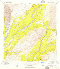
1949 · Talkeetna Mountains D-6
USGS Topo · 1:63,360
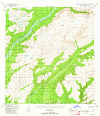
1949 · Talkeetna Mountains C-6
USGS Topo · 1:63,360

1950 · Talkeetna Mountains
USGS Topo · 1:250,000
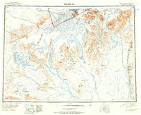
1950 · Talkeetna
USGS Topo · 1:250,000
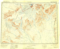
1951 · Talkeetna
USGS Topo · 1:250,000
1951 · Talkeetna C-1
USGS Topo · 1:63,360
1951 · Talkeetna Mountains D-6
USGS Topo · 1:63,360
1952 · Talkeetna Mountains C-6
USGS Topo · 1:63,360
1952 · Talkeetna Mountains D-6
USGS Topo · 1:63,360

1954 · Talkeetna Mountains
USGS Topo · 1:250,000