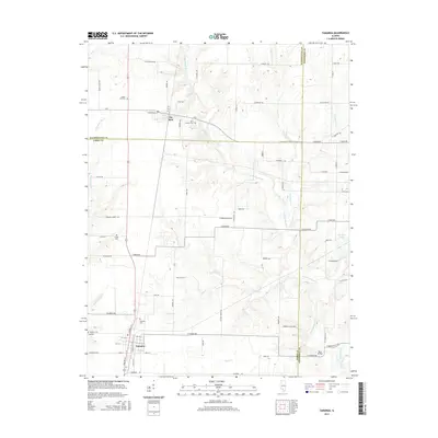
2015 Map of Tamaroa
USGS Topo · Published 2015About this map
Tamaroa and Du Bois anchor this section of southern Illinois, where the landscape is defined by the headwaters and tributaries of the Little Muddy River. This 2015 survey shows a rural geography still deeply marked by family and community heritage, visible in the numerous burial grounds scattered across the townships, including Tamaroa Cem, Antioch Cem, and Saint Charles Cem. The drainage patterns of Collier Cr, Eaton Cr, and Puncheon Cr create a complex network of creeks that once influenced early travel and settlement locations.
Find a feature on this map
83 named features on this map. Tap any name to fly to it.
Don’t see what you’re looking for? This feature index may not catch every label — zoom into the map to look around manually.
Map Details
Editions of this 2015 Tamaroa Map
This is the sole edition of this map. No revisions or reprints were ever made.
Other maps of this area

1924 · Pinckneyville
USGS Topo · 1:62,500

1926 · Pinckneyville
USGS Topo · 1:62,500

1926 · Duquoin
USGS Topo · 1:62,500

1931 · Hoyleton
USGS Topo · 1:48,000

1932 · Nashville
USGS Topo · 1:62,500

1936 · Nashville
USGS Topo · 1:62,500

1943 · Ashley
USGS Topo · 1:62,500

1946 · Ashley
USGS Topo · 1:62,500

1958 · Belleville
USGS Topo · 1:250,000

1962 · Belleville
USGS Topo · 1:250,000